We are in the process of migrating all NASA Earth science data sites into Earthdata from now until end of 2026. Not all NASA Earth science data and resources will appear here until then. Thank you for your patience as we make this transition.
Read about the Web Unification Project
Data Recipes
Follow one of our data recipes to accomplish a specific task, such as converting data into a certain format for analysis or visualization.
Featured Data Recipes

3 MIN READ
Learn how to create a time-enabled multidimensional mosaic dataset using GeoTIFF/COG files within the GIS desktop program ArcGIS Pro.
Nov. 17, 2025
11 MIN READ
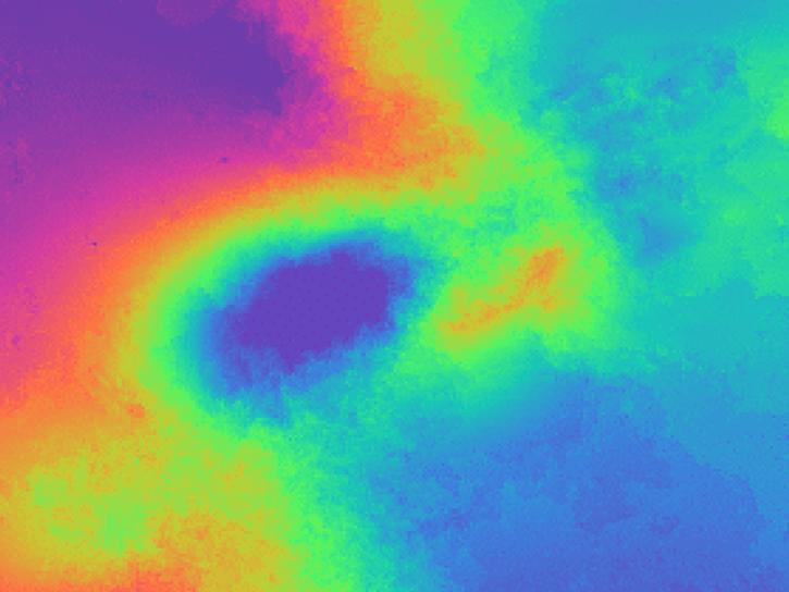
Learn how to phase unwrap an interferogram in this data recipe from NASA’s Alaska Satellite Facility Distributed Active Archive Center (ASF DAAC).
Oct. 18, 2024
Filters

7 MIN READ
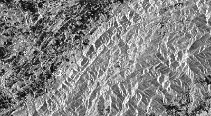
This data recipe walks users through the Offset Tracking tools to generate glacier velocity maps with Sentinel-1 Level-1 Ground Range Detected products.
Feb. 18, 2019
3 MIN READ
This data recipe identifies how to view and geocode CEOS format files using ASF’s MapReady software.
Nov. 9, 2018
3 MIN READ
This recipe will go over the basic steps to get started in the Sentinel-1 Toolbox and to create a subset of your desired area of study.
Oct. 18, 2018

6 MIN READ
Visualize lightning flash locations across several user-selected Lightning Imaging Sensor aboard the International Space Station (ISS LIS) swath data files and other processes.
Jan. 4, 2018

6 MIN READ
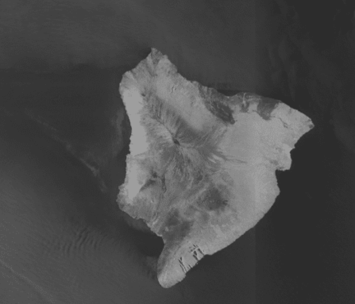
Sentinel-1 synthetic aperture radar (SAR) imagery is sensitive to standing water, making it an ideal tool for mapping the extent of floodwater covering an area.
Dec. 3, 2017

9 MIN READ
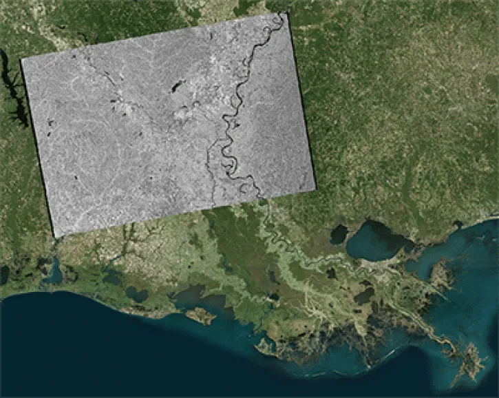
This data recipe shows users how to geocode Sentinel-1 GRD products in QGIS 2.18 using the Warp (Reproject) tool.
Oct. 18, 2017
17 MIN READ
This data recipe shows users how to geocode Sentinel-1 GRD products using the Geospatial Data Abstraction Library (GDAL) raster utilities.
Oct. 18, 2017

10 MIN READ
This data recipe walks users through geocoding Sentinel-1 GRD products in QGIS 3.X using the Warp (Reproject) tool.
Oct. 18, 2017
SHOWING 8 OF 61