As the planet gets hotter, wetter, or drier, every community will feel the impacts of climate variances differently. Some communities may face more extreme storms, while others battle record-breaking heat or increased flooding. 

For instance, according to NOAA, over 127 million people—nearly 40% of the U.S. population—live in coastal counties, making them more vulnerable to coastal erosion and high-tide flooding. Building climate resilience helps communities adapt to the changes they face.

Climate resilience is the ability of a system to absorb and recover from climate-induced impacts. Taking this approach helps mitigate and prepare for climate change. To build resilience in communities, we must first understand their risks and vulnerabilities. 

NASA’s Earth-observing satellites collect global data on a number of natural and human-caused risks. These data products help us understand how vulnerable a given community is to those risks. Additionally, NASA provides socioeconomic datasets to help assess the exposure and vulnerability of communities to these climate risks. By tracking and understanding risks and vulnerabilities, we help inform decision-makers on how best to respond to them. 


Climate Resilience Near Real-Time Data

Learn more about near real-time climate data provided by NASA's Land, Atmosphere Near real-time Capability for Earth observation (LANCE).

Get Climate Resilience Data

Access a range of datasets and data tools to further your climate resilience research.

Learn How to Use Climate Resilience Data
Access a range of webinars, tutorials, data recipes, and data stories to enhance your knowledge of Earth Observation data.
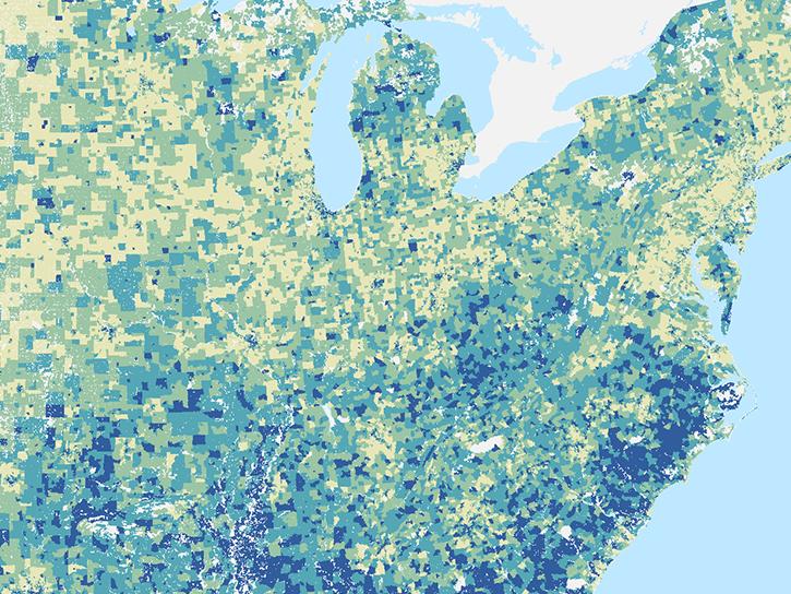
image of SEDAC Hazard mapper dataover the United States
ARSET Climate and Resilience Training
NASA's Applied Remote Sensing Training (ARSET) program offers a variety of resources that address climate risk, mitigation, and adaptation.
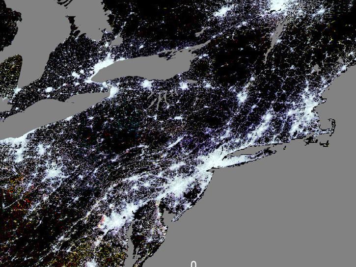
Example image for the VIIRS Plus DMSP Change in Lights (VIIRS+DMSP dLIGHT) dataset available at NASA's Socioeconomic Data and Applications Center.
The Many Layers of City Life: Urban Datasets from NASA's SEDAC
In this webinar, experts provide an overview of NASA's Socioeconomic Data and Applications Center (SEDAC) urban datasets and their potential uses in navigating urban complexities in the context of climate change and sustainable development.
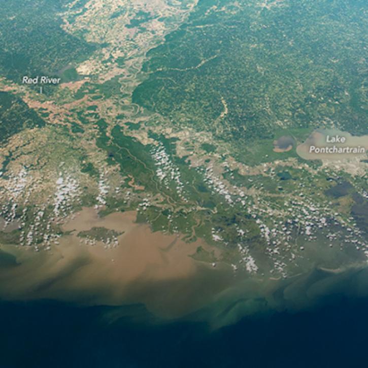
Satellite image of muddy Mississippi river flowing into the gulf.
Human Impacts on the Mississippi River Delta
NASA models reveal climate-induced and management impacts on the Mississippi River delta. Learn more about how NASA data was used to analyze the impacts from hydrology, sea level rise, and water management.
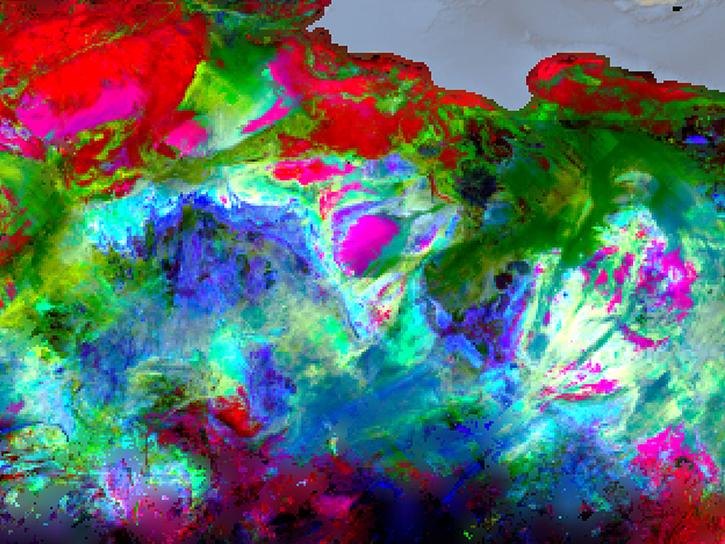
EMIT instrument data
EMIT Greenhouse Gas Products and Resources
NASA's Earth Surface Mineral Dust Source Investigation (EMIT) imaging spectrometer measures the spectrum of light ranging from visible to shortwave infrared. These observations identify the distinct spectral signatures, or fingerprints, of materials present and can be applied across many scientific domains to map things like water quality, dust, and greenhouse gases.
Discover and Visualize Climate Resilience Data
NASA data help us understand Earth’s changing systems in more detail than ever before, and visualizations bring these data to life, making Earth science concepts accessible, beautiful, and impactful.
Data visualization is a powerful tool for analysis, trend and pattern recognition, and communication. Our resources help you find world-class data visualization to complement and enhance your research. We also have tools and tutorials to help you translate climate resilience data into compelling visuals.
Image
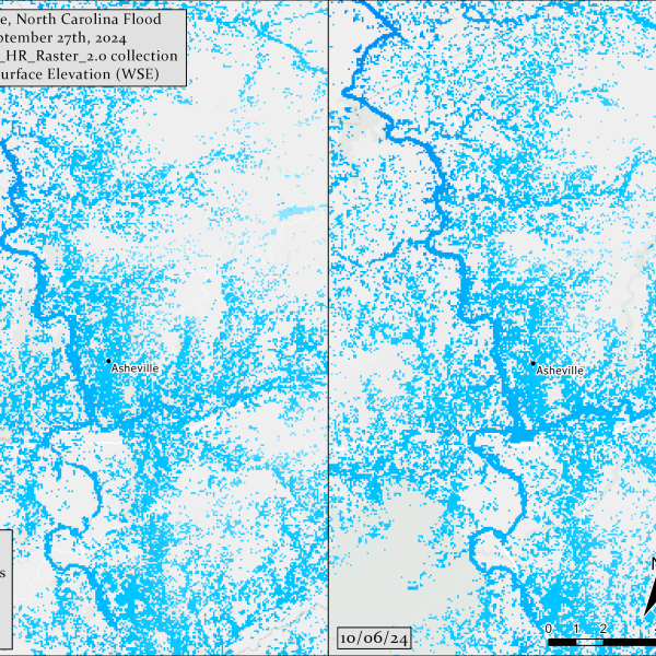
Two side-by-side panels show swirling patterns of light blue and white representing the effect of flooding in Asheville, NC
A flood comparison map of Asheville, North Carolina, before and after utilizing NASA's Surface Water and Ocean Topography (SWOT) Raster collection of Water Surface Elevation (WSE)​. Credit: PO.DAAC Project, map created by Nicholas Tarpinian

Join Our Community of NASA Data Users

While NASA data are openly available without restriction, an Earthdata Login is required to download data and to use some tools with full functionality.

Learn About the Benefits of Earthdata Login

Frequently Asked Questions

Earthdata Forum

Our online forum provides a space for users to browse thousands of FAQs about research needs, data, and data applications. You can also submit new questions for our experts to answer.

Submit Questions to Earthdata Forumand View Expert Responses

Earthdata
Forum