Access a range of datasets and data tools to further your air quality research.
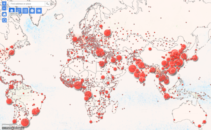
According to the World Health Organization (WHO), outdoor air pollution contributes to millions of deaths every year, making it one of the biggest global health risks. In addition, 99% of people worldwide breathe air that exceeds WHO pollution guidelines. People living in low socioeconomic neighborhoods and communities may be more vulnerable to poor air quality because of factors including proximity to industrial sources of air pollution, higher rates of underlying health problems, poor nutrition, stress, and historical patterns of environmental injustice.
The causes of air pollution vary from human activities (such as coal-fired power plants) to natural events (like wildfires and dust storms). Since air pollution is a global hazard, a combination of airborne, ground, and satellite-based tools is necessary to better understand the movement of pollutants and the impact of events leading to poor air quality. Integrating socioeconomic data with air quality data can provide a more accurate analysis of populations facing greater exposure and vulnerability from pollutants.
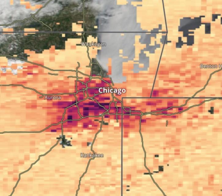
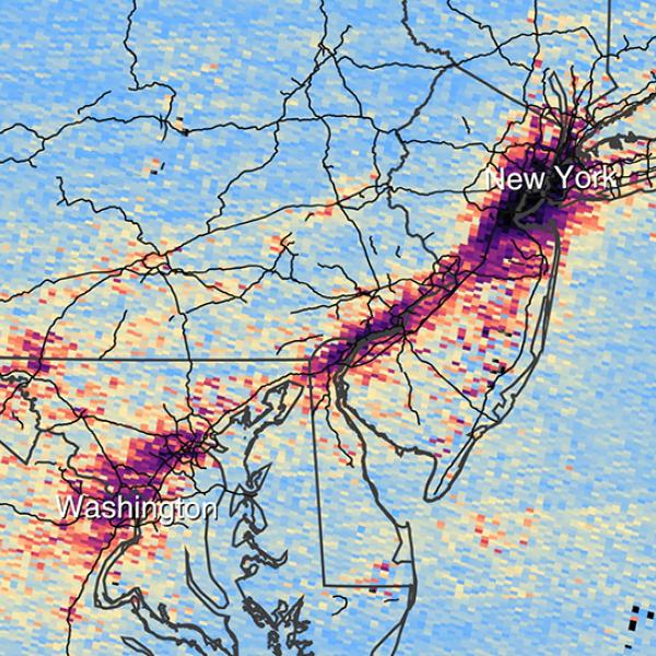
NASA's Earth Science Data Systems (ESDS) Program provides unrestricted access to data that can be used to assess aspects of air quality, such as aerosol optical depth and reflectance, as well as access to tools and applications for analyzing and working with these data. Along with measurements acquired from airborne and satellite missions, NASA collaborates with federal entities and international space organizations to collect and distribute air quality data. Data products include hourly global surface fine particulate matter concentrations, measures of nitrogen dioxide over the United States, and dust scores.
Sustainable Development Goals
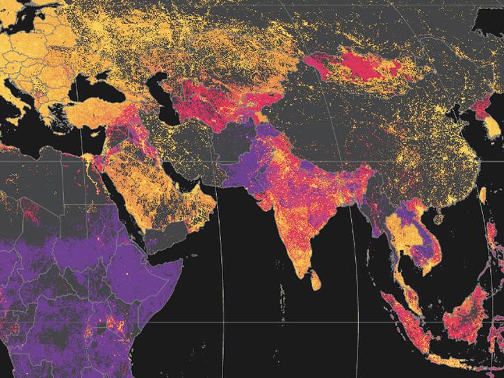
NASA provides measurements of air quality, land surface reflectance, land cover, population, and other socioeconomic data that provide metrics for tracking progress toward meeting sustainable development goal (SDG) Targets, specifically SDG 3, good health and well-being, and SDG 11, sustainable cities and communities.
Learn How to Use Air Quality Data


Join Our Community of NASA Data Users
While NASA data are openly available without restriction, an Earthdata Login is required to download data and to use some tools with full functionality.
Learn About the Benefits of Earthdata LoginFrequently Asked Questions
Earthdata Forum
Our online forum provides a space for users to browse thousands of FAQs about research needs, data, and data applications. You can also submit new questions for our experts to answer.
Submit Questions to Earthdata Forumand View Expert Responses