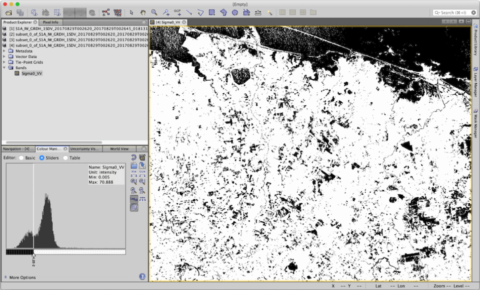
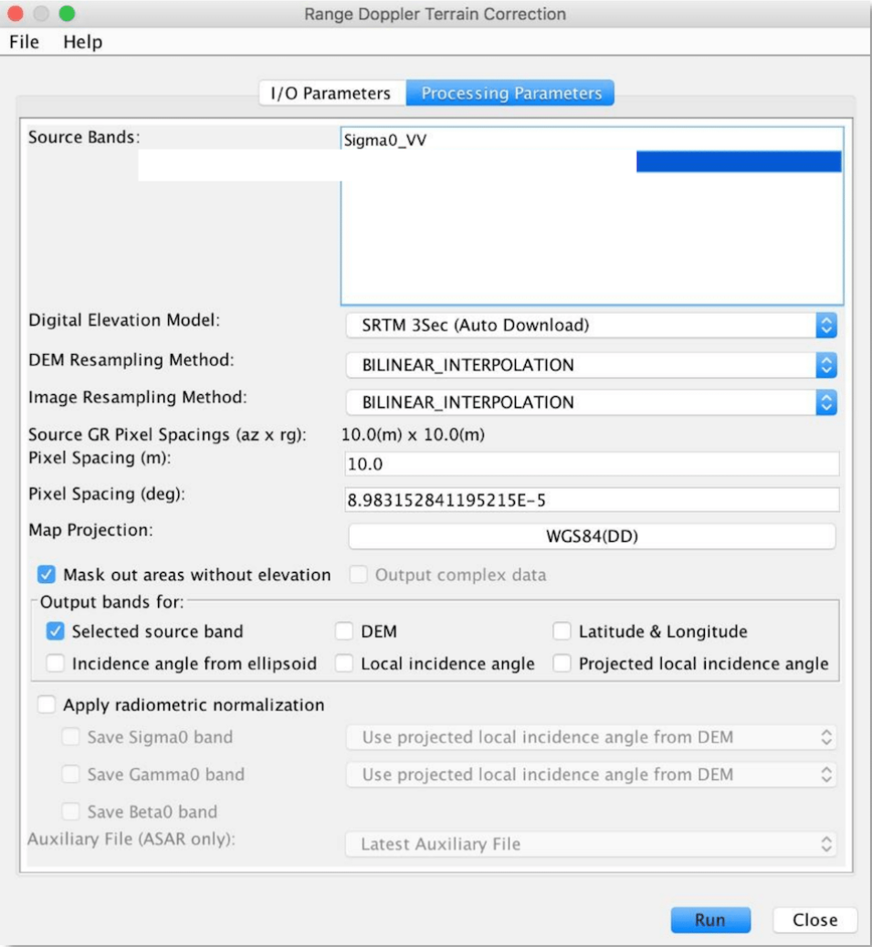
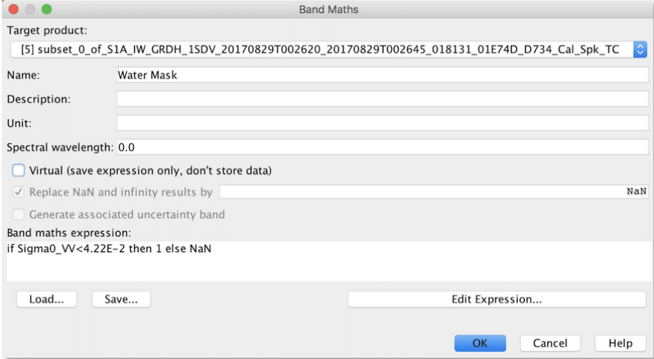
The Sentinel-1 system consists of two space-based platforms: Sentinel-1A and Sentinel-1B, each carrying C-band synthetic aperture radar (SAR) instruments. Sentinel-1A was launched on April 3, 2014, and Sentinel-1B on April 25, 2016. They orbit 180° apart, together imaging the entire Earth every six days. In addition, this radar imagery is sensitive to standing water, making it an ideal tool for mapping the extent of floodwater covering an area.
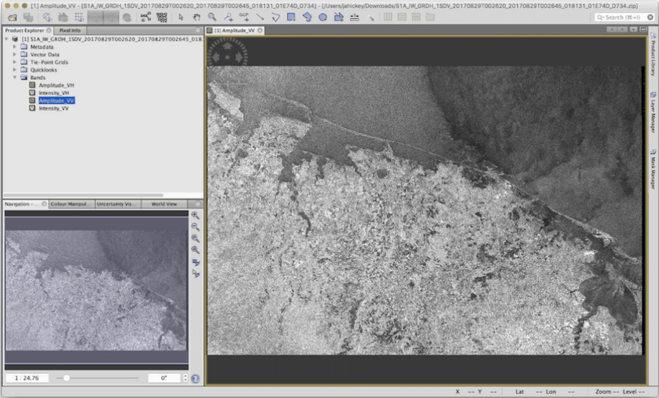
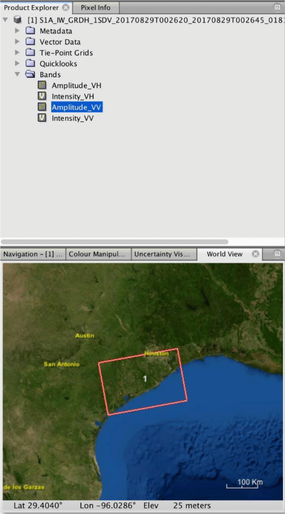
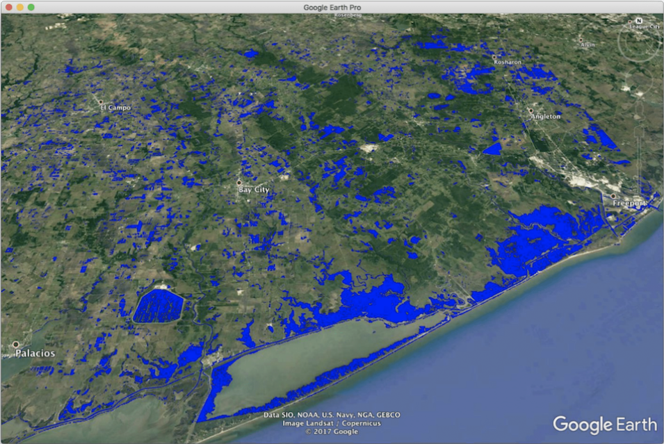
Sentinel-1A passed over Houston, Texas, on August 29, 2017, making it possible to create a map that highlights water and flood inundation on the surface caused by Hurricane Harvey. Harvey’s extreme slow movement from August 26 to 30 kept an onslaught of moisture in southeast Texas and Louisiana for days, resulting in catastrophic flooding.

