Content from all Earth science data sites are migrating into this site from now until end of 2026. Not all NASA Earth science data will appear across the site until then. Thank you for your patience as we make this transition.
Read about the Web Unification Project
Data Recipes
Follow one of our data recipes to accomplish a specific task, such as converting data into a certain format for analysis or visualization.
Quick Filters
8 MIN READ
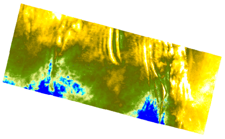
This data recipe guides you through creating a Digital Elevation Model (DEM) from two Sentinel-1 SLC scenes.
3 MIN READ
Learn how to access and visualize Atmospheric Infrared Sounder (AIRS) grid data from NASA's Goddard Earth Sciences Data and Information Services Center (GES DISC) in Python.
Pagination
- First page
- Previous page
- 1
- 2
- 3
- 4
- 5
- 6
- 7
- 8
SHOWING 2 OF 58

