Access a range of datasets and data tools to further your water quality research.
From watersheds to vapor in Earth’s atmosphere and everywhere in between, water has characteristics that are visible to the naked eye as well as invisible. The physical, chemical, biological, and microbiological constituents of water determine its suitability for particular uses; this is referred to as its “quality.”
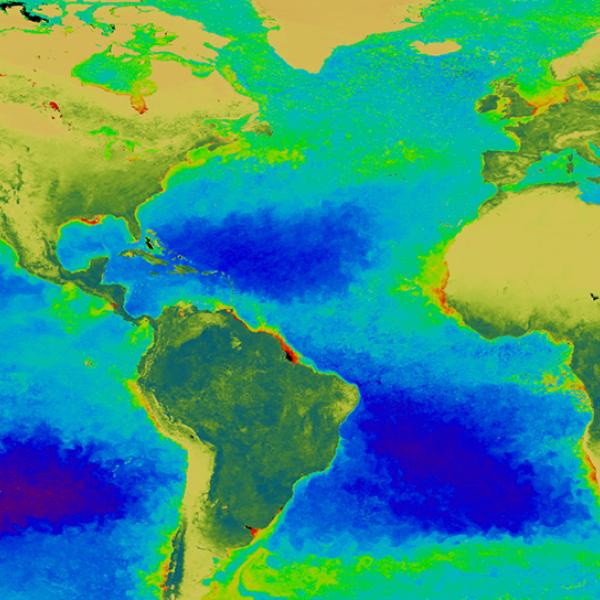
Factors affecting water quality include the amount of nutrients in the water, pollution, water temperature, food web changes, introduced species, and changes in water flow, such as after events like hurricanes, drought, or floods. Data collected from remote sensors aboard satellites and from sensors deployed under the water are important for understanding these factors. Water quality data in NASA's Earth science collection are openly available and cover the entire globe.
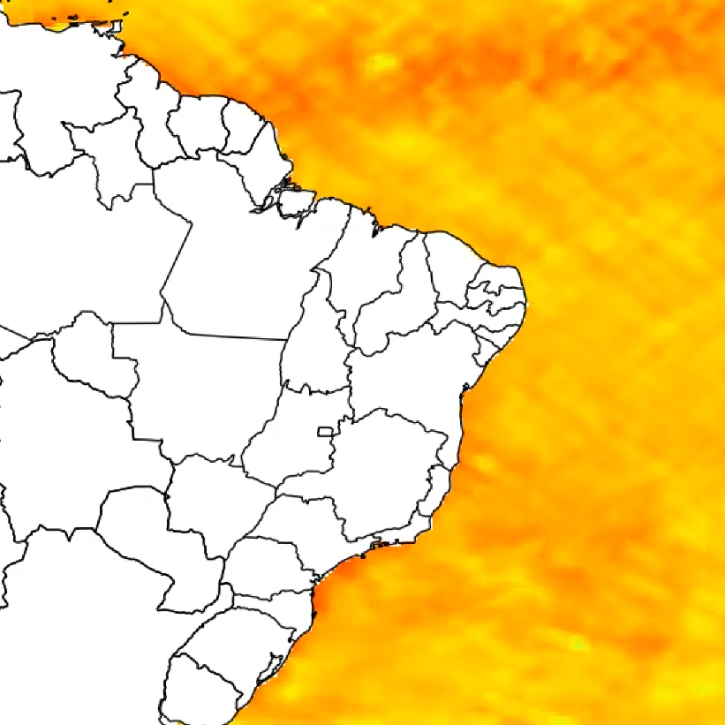
NASA’s data useful to the study of water quality include microplastic concentrations, agricultural impact surveys, and ocean surface temperature datasets. Combining socioeconomic data with water quality data can provide a more accurate analysis of populations facing greater exposure and vulnerability from water quality issues.
Learn How to Use Water Quality Data


Join Our Community of NASA Data Users
While NASA data are openly available without restriction, an Earthdata Login is required to download data and to use some tools with full functionality.
Learn About the Benefits of Earthdata LoginFrequently Asked Questions
Earthdata Forum
Our online forum provides a space for users to browse thousands of FAQs about research needs, data, and data applications. You can also submit new questions for our experts to answer.
Submit Questions to Earthdata Forumand View Expert Responses