Due to the lapse in federal government funding, NASA is not updating this website. We sincerely regret this inconvenience.
Trainings
Go from introductory knowledge in remote sensing to applied applications in hydrology, land cover change, or wildfire management. Trainings are designed to meet the user where they are in interest and skill level.
Featured Trainings
Fundamentals of Remote Sensing consists of self-paced training modules and webinar recordings.
Training
This ARSET training identifies types of remote sensing data and products that can be used for terrestrial invasive species mapping and monitoring.
Training
Sept. 30, 2025
Filters
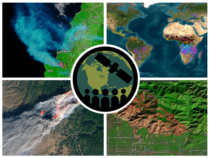
This ARSET training introduces participants to several capabilities within FIRMS that were not included in the previous ARSET training.
Training
Nov. 12-19, 2025
Esta capacitación guía a los participantes por un recorrido de los antecedentes teóricos de las capacidades del lidar espacial GEDI.
Training
Oct. 23 - Nov. 6, 2025
This ARSET training walks participants through the theoretical background of GEDI lidar capabilities by learning to access and plot GEDI data.
Training
Oct. 23 - Nov. 6, 2025
Esta capacitación está enfocada en el uso de SIF para estudiar el impacto de las inundaciones, sequías e incendios en la vegetación.
Training
Oct. 15-29, 2025
This ARSET training discusses the use of a remote sensing measure of photosynthesis to study the impact of extreme weather on cropland and ecosystems.
Training
Oct. 15-29, 2025
This ARSET training covers general approaches to apply satellite remote sensing data when studying or forecasting climate-sensitive infectious diseases.
Training
Oct. 7-9, 2025
This ARSET training identifies types of remote sensing data and products that can be used for terrestrial invasive species mapping and monitoring.
Training
Sept. 30, 2025
This ARSET training focuses on assessing projected statistics of extreme heat and cold wave events and extreme precipitation excess and deficit events.
Training
Sept. 10-17, 2025
