We are in the process of migrating all NASA Earth science data sites into Earthdata from now until end of 2026. Not all NASA Earth science data and resources will appear here until then. Thank you for your patience as we make this transition.
Read about the Web Unification Project
Land SIPS
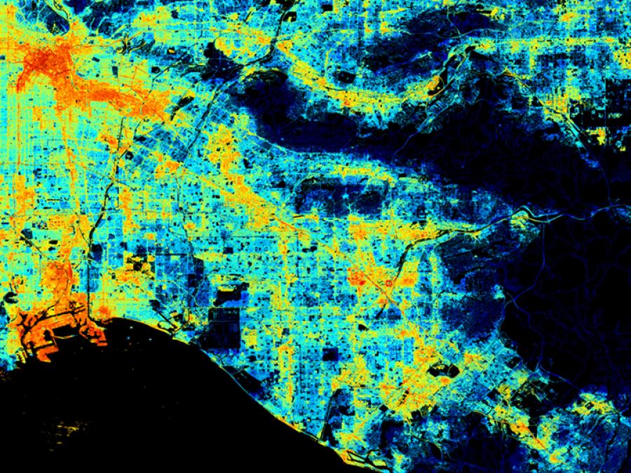
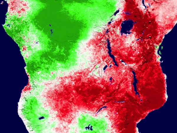
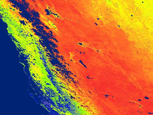
NASA's Land Science Investigator-led Processing System (Land SIPS) is responsible for processing, reprocessing, production and general assessment of the Suomi National Polar-orbiting Partnership (Suomi NPP) Science Team standard and experimental Visible Infrared Imaging Radiometer Suite (VIIRS) instrument land products. The science measurements may include land cover, snow cover, vegetation properties, hydrological properties, temperature, reflectance, albedo, and fire.
The Suomi NPP Land SIPS processes Level 0 data into Level 1, Level 2, and global gridded Level 3 land products using scientific algorithm software developed by the Suomi NPP Science Team's Land Discipline Group. The Land SIPS will deliver all data products along with the scientific algorithm software, associated metadata, and documentation to NASA's Level 1 and Atmosphere Archive and Distribution System Distributed Active Archive Center (LAADS DAAC), National Snow and Ice Data Center DAAC (NSIDC DAAC), and Land Processes DAAC (LP DAAC).
The Land SIPS will acquire near real-time algorithms for selected products and process and deliver these products, within three hours, for distribution through NASA's Land Atmosphere Near real-time Capability for Earth observation (LANCE).
Location
Greenbelt, MD
CoreTrustSeal Certified Repository
We are proud to be a CoreTrustSeal Certified Repository. CoreTrustSeal is an international, community based, non-governmental, and non-profit organization promoting sustainable and trustworthy data infrastructures.