Access a datasets and data tools to further your cryospheric research.
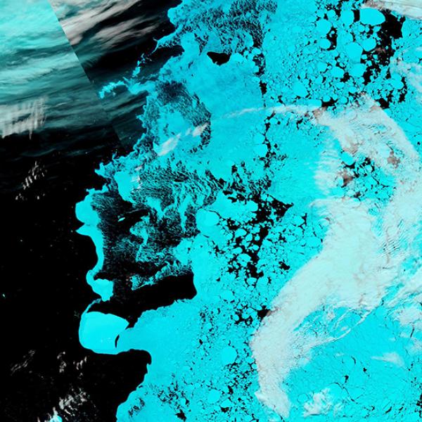
Earth is covered in nearly six million square miles (15 million square kilometers) of ice across its polar caps, glaciers, and ice sheets. NASA’s satellites and other scientific platforms provide scientists with data to make important cryospheric measurements such as how much polar ice is melting and raising sea levels, the degree that snow is being darkened by air pollution and reducing its ability to reflect sunlight, and the loses in permafrost that could lead to the release of carbon sequestered in the frozen ground into the atmosphere.
Cryosphere Subtopics

Latest Cryosphere News
Join Our Community of NASA Data Users
While NASA data are openly available without restriction, an Earthdata Login is required to download data and to use some tools with full functionality.
Learn About the Benefits of Earthdata LoginFrequently Asked Questions
Earthdata Forum
Our online forum provides a space for users to browse thousands of FAQs about research needs, data, and data applications. You can also submit new questions for our experts to answer.
Submit Questions to Earthdata Forumand View Expert Responses

