Aboard NASA’s many platforms are sophisticated instruments that collect a wide range of data about our planet. Our instruments can track wildfires in real time, detect minute changes in the Earth’s atmosphere, and help agricultural communities optimize their crop cycles. Explore how our data can enhance your Earth science research.
 

Explore Instruments

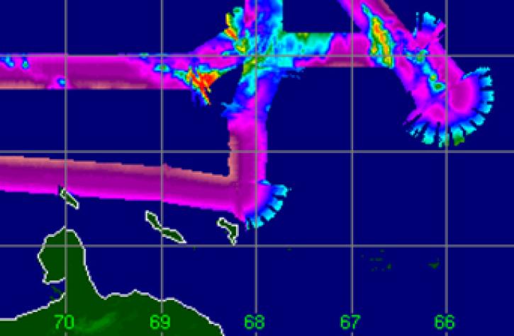
The Spaceborne Imaging Radar-C (SIR-C) was integrated with the X-Band Synthetic Aperture Radar (X-SAR) to capture images of Earth across three different wavelengths.
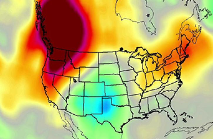
NASA's Stratospheric Aerosol and Gas Experiment II (SAGE II) determines the spatial distributions of stratospheric aerosols, ozone, nitrogen dioxide, water vapor, and cloud occurrence by mapping vertical profiles and calculating monthly averages of each.

TMS

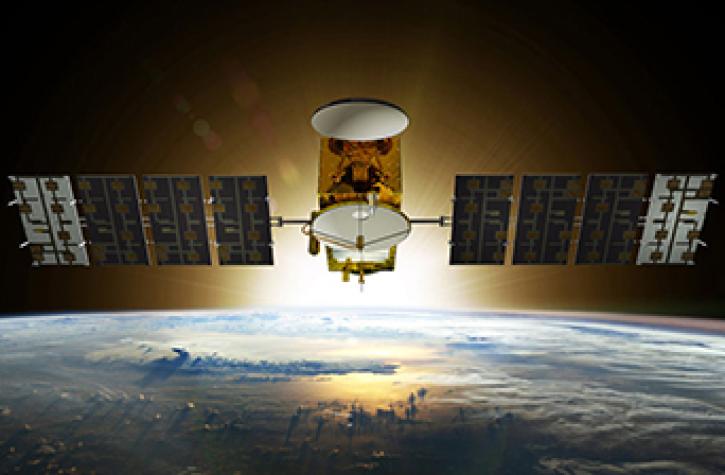
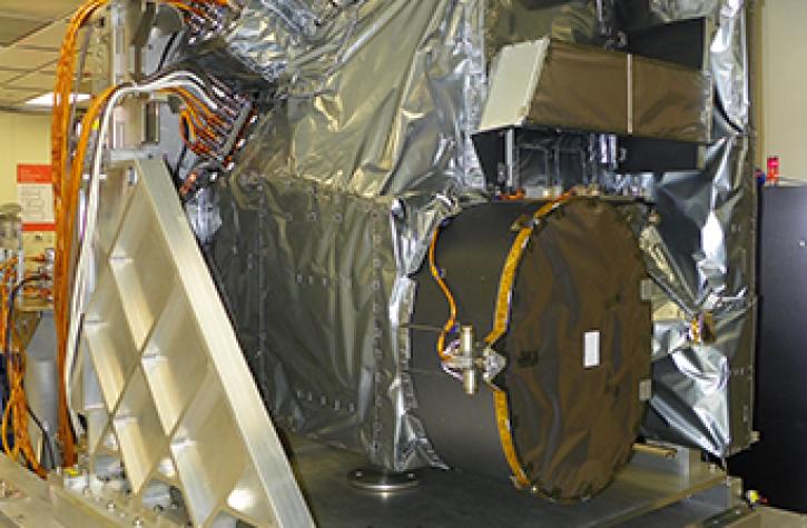
The TROPICS Millimeter-wave Sounder (TMS) is the payload aboard each of a constellation of small satellites comprising the Time-Resolved Observations of Precipitation structure and storm Intensity with a Constellation of SmallSats (TROPICS) platform.
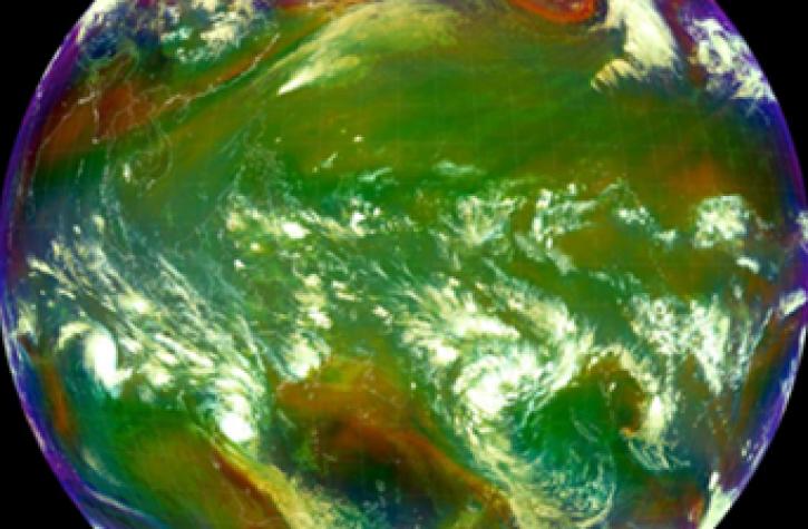
The focus of the Spectro-polarimeter for Planetary Exploration one (SPEXone) instrument is to achieve highly accurate Degree of Linear Polarization (DoLP) measurements, which facilitate accurate characterization of aerosols in the atmosphere.
SHOWING 8 OF 140

Join Our Community of NASA Data Users

While NASA data are openly available without restriction, an Earthdata Login is required to download data and to use some tools with full functionality.

Learn About the Benefits of Earthdata Login

Frequently Asked Questions

Earthdata Forum

Our online forum provides a space for users to browse thousands of FAQs about research needs, data, and data applications. You can also submit new questions for our experts to answer.

Submit Questions to Earthdata Forumand View Expert Responses

Earthdata
Forum