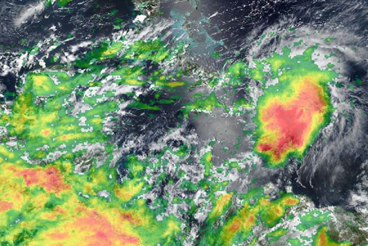
Worldview is an easy-to-use visualization tool that allows users to interactively browse, compare, animate, and download over 1,200 visualized satellite data products. Many of those products are available within hours of being acquired—essentially showing the entire Earth as it looks "right now". This supports time-critical applications, such as wildfire management, air quality measurements, and flood monitoring, as well as longer-term historical studies. Data are available in near real-time and for entire missions.
Worldview is mobile-friendly, embeddable into other sites, and includes storytelling capabilities.
Users can view current natural hazards and events using the Events tab, which reveals a list of natural events including wildfires, tropical storms, and volcanic eruptions. Users can animate the imagery over time. Geostationary imagery layers are also available. These are provided in ten-minute increments for the last 90 days. These full disk hemispheric views allow for almost real-time viewing of changes occurring around most of the world. Arctic and Antarctic views of many products are also available for a "full globe" perspective.
Also available is Worldview Snapshots, a lightweight tool for creating image snapshots from a selection of popular NASA satellite imagery layers. Users can preview and download imagery in different band combinations and add overlays on the imagery of active fire detections, coastlines, borders, and roads. Worldview Snapshots is ideal for users with low/limited bandwidth access or for users who want to rapidly retrieve georeferenced satellite imagery of the same area each day.
Powered by GIBS
Worldview uses NASA's Global Imagery Browse Services (GIBS) to rapidly retrieve its imagery for an interactive browsing experience. While Worldview uses OpenLayers as its mapping library, GIBS imagery can also be accessed from Cesium, ArcGIS, GDAL, and several other clients. We encourage interested developers to build their own clients or integrate NASA imagery into their existing ones using these services.


