We are in the process of migrating all NASA Earth science data sites into Earthdata from now until end of 2026. Not all NASA Earth science data and resources will appear here until then. Thank you for your patience as we make this transition.
Read about the Web Unification Project
Featured Centers
Fairbanks, AK
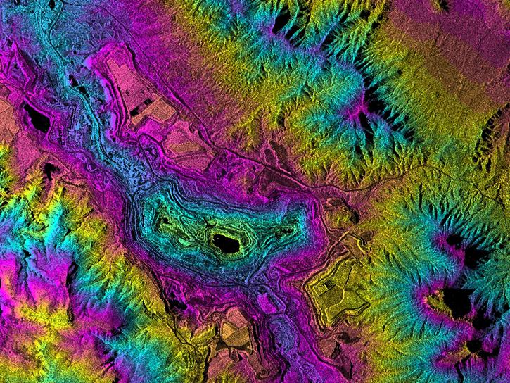
NASA's Alaska Satellite Facility Distributed Active Archive Center specializes in collecting, processing, archiving, and distributing synthetic aperture radar data.
Huntsville, AL
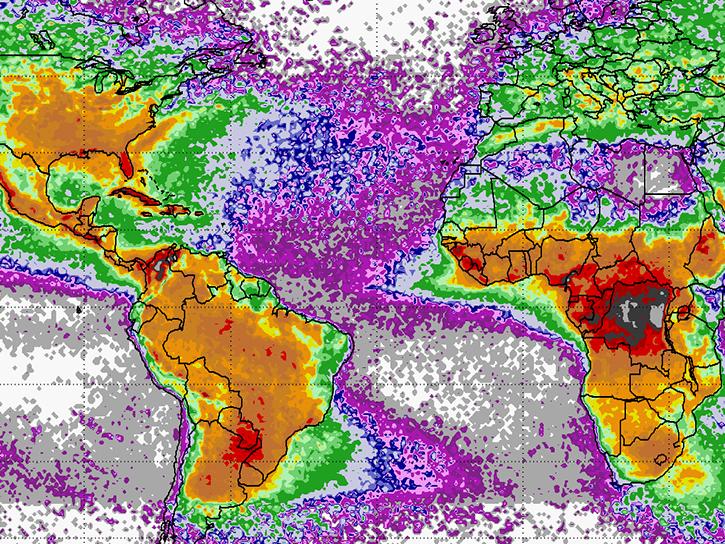
NASA's Global Hydrometeorology Resource Center Distributed Active Archive Center provides data on hazardous weather, its governing dynamical and physical processes, and associated applications.
Explore All Centers
Filters

The Airborne and Field Data Resource Center provides information about NASA's airborne and field campaign suborbital measurements and instruments, related tools and services, and learning resources for working with these unique data products.
Hampton, VA
NASA's Atmospheric Science Data Center focuses on Earth science disciplines including radiation budget, clouds, aerosols, and tropospheric composition.
Fairbanks, AK
NASA's Alaska Satellite Facility Distributed Active Archive Center specializes in collecting, processing, archiving, and distributing synthetic aperture radar data.

Madison, WI
NASA's Atmosphere Science Investigator-led Processing System is responsible for processing, reprocessing, production, and general assessments of joint NASA/NOAA Suomi National Polar-orbiting Partnership (Suomi NPP) VIIRS atmosphere products.
Greenbelt, MD
NASA's Crustal Dynamics Data Information System provides data and information to support the international space geodesy community.
Greenbelt, MD
NASA's Goddard Earth Sciences Data and Information Services Center provides access to climate data, primarily on atmospheric composition, atmospheric dynamics, global precipitation, and solar irradiance.
Huntsville, AL
NASA's Global Hydrometeorology Resource Center Distributed Active Archive Center provides data on hazardous weather, its governing dynamical and physical processes, and associated applications.

Greenbelt, MD
NASA's Level-1 and Atmosphere Archive and Distribution System Distributed Active Archive Center primarily provides access to global science data products from MODIS and VIIRS.
SHOWING 8 OF 21