Access a range of datasets and data tools to further your sea ice research.
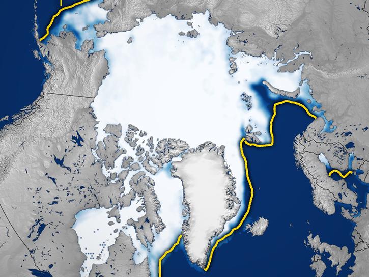
Sea Ice is mainly found in the Arctic and Antarctic regions, and is a key part of polar ecosystems. Channels within sea ice can fill with salt water and provide habitats for primary producers like algae and plankton, forming the basis of a local ecosystem. Sea ice is also a major fact in sea level rise and salinity distributions, and presents a major obstacle for ships navigating far northern or southern waters.
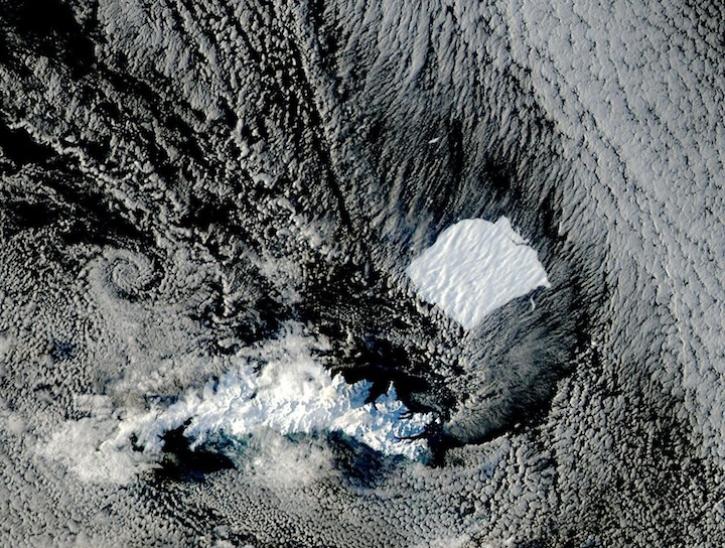
NASA's Gravity Recovery and Climate Experiment (GRACE) and GRACE-FO use minute variations in Earth’s gravitational field to measure the planet’s distribution of mass, and this can be used to identify sea ice. Missions like Landsat can also provide direct observations of sea ice.
Over time, these data help researchers track changes in polar environments, and provide a valuable gauge of global climate change. They’re also vital for accurate predictions of sea-level rise, and modeling long-term circulation patterns in the ocean.
Learn How to Use Sea Ice Data


Join Our Community of NASA Data Users
While NASA data are openly available without restriction, an Earthdata Login is required to download data and to use some tools with full functionality.
Learn About the Benefits of Earthdata LoginFrequently Asked Questions
Earthdata Forum
Our online forum provides a space for users to browse thousands of FAQs about research needs, data, and data applications. You can also submit new questions for our experts to answer.
Submit Questions to Earthdata Forumand View Expert Responses