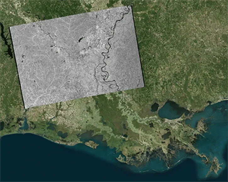
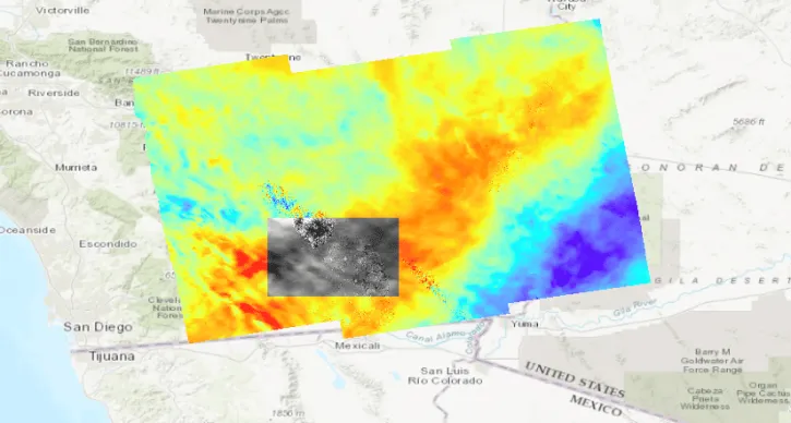
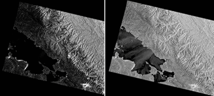
The Alaska Satellite Facility's Vertex is the search interface for finding synthetic aperture radar data for Earth science. The tool includes a multilingual component where you can search for data in Spanish and English, a location component for searching by area of interest, and a service for pre-processing data before download to cut down data volume and processing time. 

Tool at a Glance

Vertex News

The Alaska Satellite Facility announces the availability of new data products from the Observational Products for End-Users from Remote Sensing Analysis (OPERA) project at the NASA Jet Propulsion Laboratory (JPL).
News
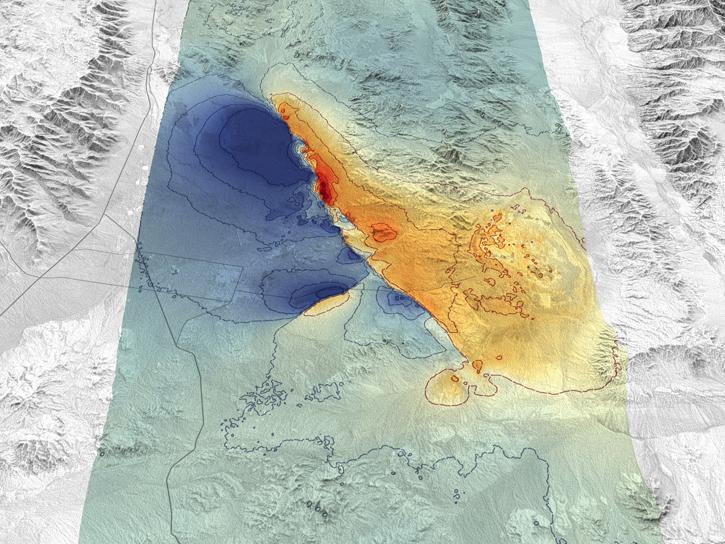
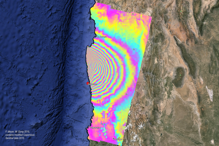
This StoryMap explains the contents of the interferometric synthetic aperture radar (InSAR) product package created through On Demand processing.
News
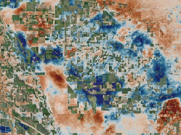
Who uses NASA Earth science data? Dr. Piyush Agram, for developing Synthetic Aperture Radar (SAR) data products.
Data User Story
SHOWING 4 OF 4

Vertex Learning Resources

This data recipe guides users to terrain correct CEOS-formatted data granules for legacy platforms.
Data Recipe
This tutorial shows users how to geocode Sentinel-1 GRD products using the Geospatial Data Abstraction Library (GDAL) raster utilities.
Data Recipe
This data recipe shows users how to geocode Sentinel-1 GRD products in QGIS 2.18 using the Warp (Reproject) tool.
Data Recipe
SHOWING 4 OF 27

Join Our Community of NASA Data Users

While NASA data are openly available without restriction, an Earthdata Login is required to download data and to use some tools with full functionality.

Learn About the Benefits of Earthdata Login

Frequently Asked Questions

Earthdata Forum

Our online forum provides a space for users to browse thousands of FAQs about research needs, data, and data applications. You can also submit new questions for our experts to answer.

Submit Questions to Earthdata Forumand View Expert Responses

Earthdata
Forum