six vertical bands showing various satellite images
image of world map on binary code
image of burst shape over EMIT satellite data

EIS

Earth Information System

NASA's Earth Information System (EIS) is a transdisciplinary, collaborative research and applications activity that combines NASA's satellite observations with modeling capabilities to produce new, integrated information enabled by emerging technology.


EIS News and Spotlight

Climate change and other impacts from human activities are causing rapid changes in Earth’s systems, affecting both human and natural systems. NASA can play a crucial role in anticipating, monitoring, and rapidly responding to these changes using Earth observing satellites and advanced research capabilities.

NASA’s Earth Information System (EIS) project is specifically designed to accomplish these tasks and meet our biggest challenges. EIS provides a global analysis framework that integrates information and data from various satellite missions, model platforms, and research programs to help us better understand the complex systems of our planet. EIS also streamlines collaborations between researchers and decision-makers to mobilize science to action using an open-source platform.

EIS Vision

To harness the full potential of NASA’s scientific expertise, observations, cutting edge technology, and partnerships to understand the changing planet as one Earth system.

EIS Mission

To synthesize NASA’s existing Earth observations, science, and modeling capabilities using innovative open science cyberinfrastructure to accelerate and deliver actionable science.

Spiral Graphic of the Interconnected Goals and Mission of NASA’s Earth Information System
Image Caption

NASA's Earth Information System is a collaborative hub for understanding and answering critical questions about Earth's complex systems.

System Goals

Goal 1: Synthesize research into improved Earth system understanding with transdisciplinary teams focused on the priority areas defined in NASA’s Earth Action Strategy.

Goal 2: Pioneer the use of next-generation cyberinfrastructure and data systems to accelerate scientific discovery and scale scientific workflows to improve our capacity to transition science to applications.

Goal 3: Reduce the barriers to entry for scientists and the broader Earth science community by deploying and championing NASA open-source science principles and best practices.

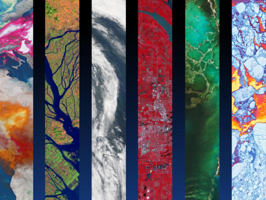
Thematic Science Teams

EIS is composed of a diverse team of more than 100 scientists and data experts across NASA centers and partner universities who collaborate to address high-priority topics identified in NASA’s Earth Action Strategy: Water Security, Fire, Sea Level Change and Coastal Risk, Greenhouse Gases, and Agriculture. A few highlights of EIS activities are described below.

Water Security

EIS is quantifying surface and groundwater, human management influence, hydrological extremes, and forecasts by blending NASA models and remote sensing data. EIS will continue to quantify changes in the global water cycle while identifying connections between hydrological extremes, human and aquatic health, and intersection of water-energy applications.

Fire

EIS recognizes the global scope of fire and the diverse impacts of fire on the Earth system. With scientific expertise across the entire fire lifecycle, EIS thrives by improving estimates of future fire risk and fire emissions as well as monitoring global post-fire impact by developing a global fire tracking dashboard.

Sea Level Change and Coastal Risk

EIS is implementing a suite of existing Earth system models on cloud computing and analysis environments to support research and analysis being done across a range of NASA programs, such as the NASA Sea Level Change Team (N-SLCT) and the Coastal Resilience program. EIS is working to reduce uncertainties in components contributing to the sea-level change, developing tools to advance monitoring and analysis capabilities for regional coastal sea level change, and improving our understanding of human impacts on coastal flood risks.

Greenhouse Gases

EIS played a critical role in integrating expertise needed to support a wide variety of tools to characterize greenhouse gas (GHG) concentrations and fluxes, and worked to further advance the most mature tools that can be integrated to support monitoring and mitigating human GHG emissions. The focus of EIS is to understand GHGs as part of the broader carbon cycle, which is one of the pillars of the Earth system.

Agriculture

Activities within EIS aim to bridge information gaps and address additional risk and uncertainty for agricultural producers working to minimize inputs and sustain crop yields and farm revenue in the face of the emerging impacts of climate change. EIS will explore quantification and predictability of water availability for agriculture, extreme events impact on agriculture, yield forecast, and impact of the air-water-soil intersection on agriculture.

Transdisciplinary Approach

The transdisciplinary framework of EIS also encourages engagement with other Earth Action priority topics including Air Quality and Human Health, Ecosystems and Conservation, Disasters, and Sustainable Energy. EIS will continue to complement priority science initiatives (such as FireSense, GHG Center, Harvest/Acres), continue working with other science teams and projects (such as N-SLCT), engage with external stakeholders to refine the science and expand its utility, and enable mission science teams to tackle the challenges of this open-source science transition. Thus, EIS will target the critical need to provide a synthesized, transdisciplinary understanding of the Earth system to global climate authorities and other decision makers.

Earth Action Strategy

In addition to focusing on high-priority topics, the following EIS activities are explicitly designed to support NASA’s Earth Action Strategy:

  • Accelerate science that enables solutions (quickens discovery and provides information that improves decision-relevant capabilities)
  • Integrate capabilities across NASA by convening and building diverse, inclusive teams
  • Improve open-source data delivery
  • Expand the scale, scope, and reach of Earth system science and tools for response to climate and other Earth system changes
  • Leverage partnerships to co-develop tools with existing partners (national, international, and boundary organizations as well as commercial partnerships)
  • Demonstrate open-source science via experimental testbeds and other collaborative environments for multi-sector solutions to pressing issues
  • Inspire Earth action via examples, use cases, and stories about how Earth observation information benefits society
  • Inspire early engagement in Earth system science via Science, Technology, Engineering, and Mathematics (STEM) and citizen science activities
  • Incorporate feedback on information needs from users and stakeholders into next generation research, technology, and mission design (research to operations to research to technology)
  • Advance Application Readiness Levels (ARLs) and Technology Readiness Levels (TRLs) for NASA Research Opportunities in Space and Earth Sciences (ROSES)-funded projects

NASA’s Earth Information System (EIS) aims to lower the barriers to using NASA’s models and data and engage the broader science community in the research process.

Open-Source Science

EIS open-source science goals are to:

  • Employ a transparent research process
  • Allow the research community to easily find and use code and data in accordance with the principles of findability, accessibility, interoperability, and reusability (FAIR)
  • Welcome participation from a diverse set of people and organizations
  • Produce results that are reproducible by the broader community

Applications Co-Development

EIS facilitates the synthesis of NASA’s best observations and research on Earth’s interconnected systems with researchers and stakeholders across disciplines. To provide actionable information on these Earth system processes and interactions, EIS works through existing partnerships and supports the co-development of applications and tools.

Community Participation

Engage with EIS via the Visualization, Exploration, and Data Analysis (VEDA) Dashboard, which houses a current data catalog, analysis tools, and ongoing research science stories; and participate in open science via the EIS GitHub, where you can find our code and engage in the research process through discussions.

Accelerating Open-Source Science

EIS continues to serve as a pathfinder for NASA’s transition to open-source science. Working with NASA's Earth Science Data Systems (ESDS) Program team, EIS employs NASA’s new open-source cyberinfrastructure, such as the VEDA platform and the Science Managed Cloud Environment (SMCE). EIS is using these interactive environments to build foundational tools and knowledge bases; develop cloud-based notebooks for sharing data access, analytics, and science workflows; deploy NASA models in the cloud; engage mission and field campaign teams; communicate research with science stories; and support collaboration with early career scientists.

These environments have already enabled the co-development of decision-relevant science with stakeholders and allowed for an accelerated transition of research to applications. For example, EIS worked with the U.S. Fish and Wildlife Service to develop data products used in future snow habitat assessments with climate change, and the World Meteorological Organization has directly leveraged EIS synthesis efforts on water and greenhouse gases in their annual reports. These efforts have also enabled unique insights on the drivers of coastal flooding, feedbacks between the hydrosphere and biosphere in fire-prone areas, changes in terrestrial water availability and quality, and changes in greenhouse gas emissions.

Explore the guided narratives below to discover how NASA satellites and other Earth observing resources reveal a changing planet.

A New NASA Model Brings Open Science to Target Water Quality Problems
NASA's Earth observations and models can inform water quality and resource protection decisions.

A New View of the Global Water Cycle
Integrating NASA's state-of-the art model and remote sensing observations to reveal human impacts on the water cycle.

Future Projections of Western U.S. Montane Snowpack
Combining NASA climate projections and NASA models to infer the future state of snow water resources in the Rocky Mountains and the North Cascade mountain range.

Hydrological Drivers and Impacts of Fire
EIS investigates pre-fire hydrological conditions and post-fire impacts on eco-hydrology.

Unraveling the Components of Coastal Risk
NASA measurements and models shed light on present and future coastal risks.

The Human Footprint on the Ogallala Aquifer
NASA models and datasets capture irrigation and groundwater depletion impacts.

Water Quality in the Upper Mississippi Basin
NASA land surface models capture water quality trends in the Upper Mississippi Basin.

Flooding in 2019—Tale of a Terrible Year
NASA models and remote sensing datasets capture cascading impacts on Midwest farmers.

2017 Drought—Havoc from the Heat
Propagation and impacts of Great Plains drought captured by NASA models and datasets.

Human Impacts on the Mississippi River Delta
NASA models reveal climate-induced and management impacts on the Mississippi River Delta.

Landslides in Kentucky
Machine learning and remote sensing show where and when landslides are most likely.

Earth Information System Freshwater
EIS Freshwater integrates data and models across the full water cycle to deliver actionable freshwater information.