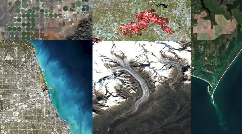
The Harmonized Landsat Sentinel-2 (HLS) project is a NASA initiative to produce seamless, harmonized surface reflectance data from the Operational Land Imager (OLI) and Multi-Spectral Instrument (MSI) aboard Landsat 8–9 and Sentinel-2 Earth-observing satellites, respectively, providing a global observation of the Earth’s surface at a 30-meter spatial resolution every 2–3 days. These data are useful in a wide variety of applications, including agriculture, natural disasters, urbanization, and more.
This webinar will provide an introduction to HLS data; show users how to find resources to work with the data; showcase demonstrations to visualize, search for, and access the data through NASA Worldview and Earthdata Search; and will provide data use case examples and a demonstration of HLS data in the Fire Information for Resource Management System (FIRMS) tool to monitor fires and floods.
