Content from all Earth science data sites are migrating into this site from now until end of 2026. Not all NASA Earth science data will appear across the site until then. Thank you for your patience as we make this transition.
Read about the Web Unification Project
Frozen Ground News
Articles, resources, and announcements from Frozen Ground.
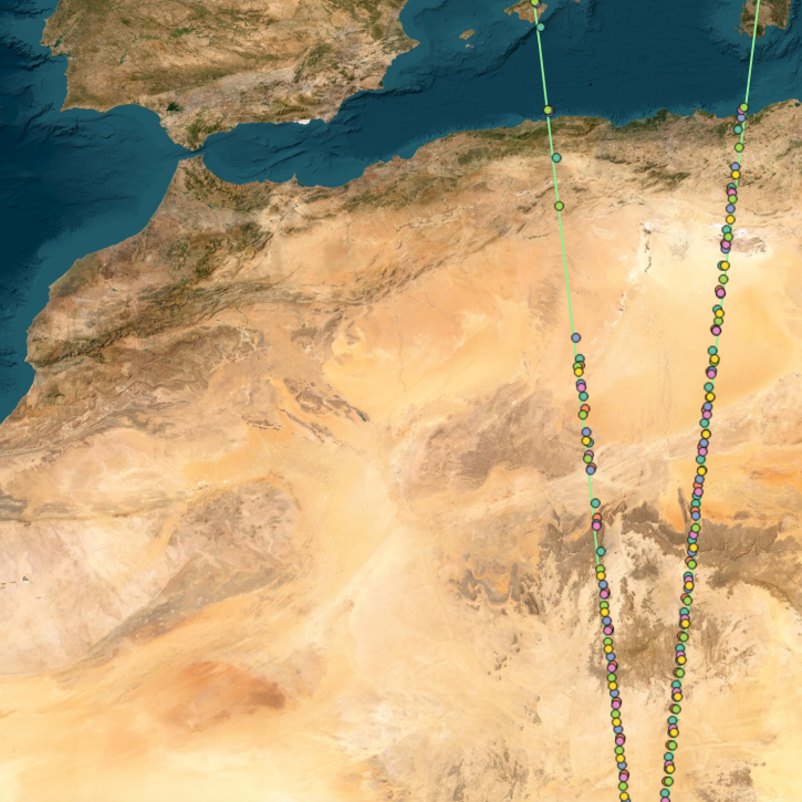
OpenAltimetry, a cyberinfrastructure platform for working with data from NASA’s Ice, Cloud, and land Elevation Satellite (ICESat) and ICESat-2 missions, is now a full NASA Earth science application.
News
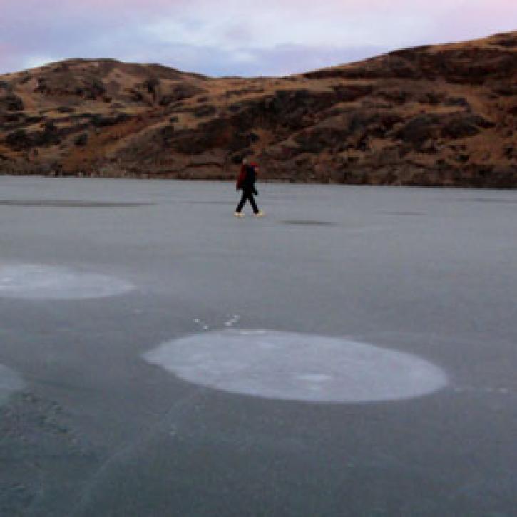
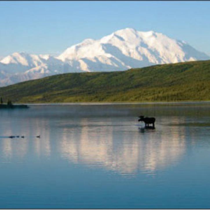
Remote sensing data help researchers measure change in the Alaskan landscape.
Data User Story
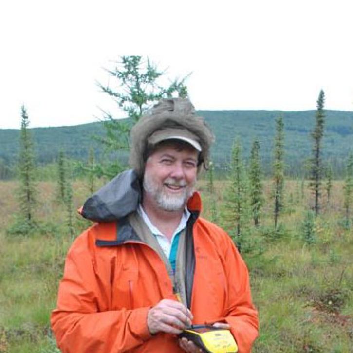
Data from NASA’s ORNL DAAC helps scientists like Dr. Kevin Schaefer detect climate-induced thawing of permafrost throughout the Arctic.
Data User Story
Bubbles large and small signal changes in the Arctic and in Earth’s atmosphere.
Feature Article
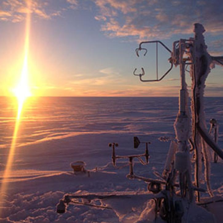
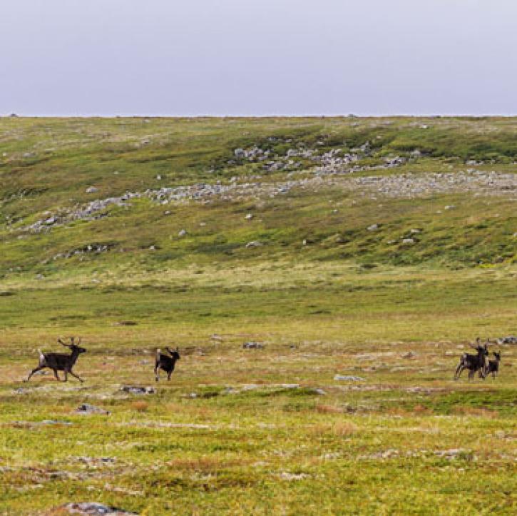
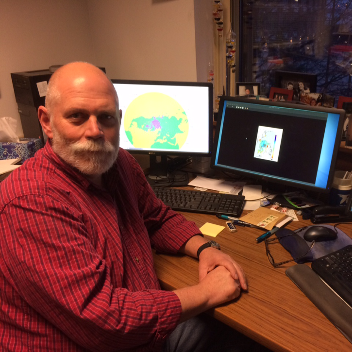
Who Uses NASA Earth Science Data? Dr. Mark Anderson, to better understand how frozen surfaces react to changing atmospheric conditions
Data User Story
SHOWING 8 OF 11