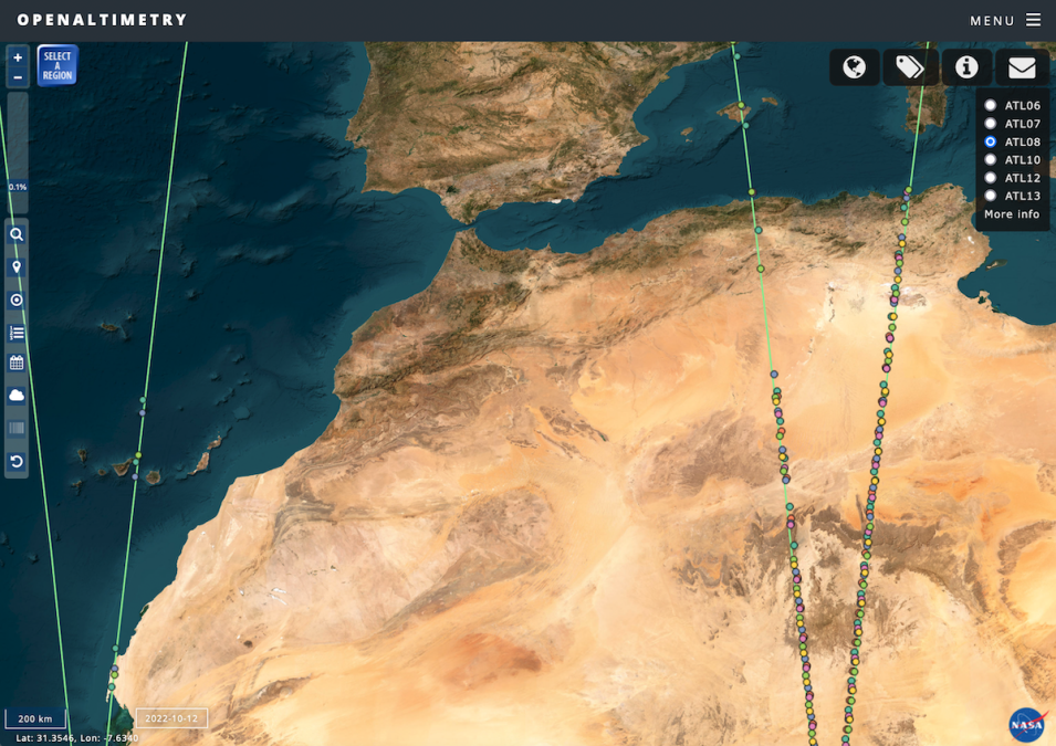
Working with data from NASA’s Ice, Cloud, and land Elevation Satellite (ICESat) and ICESat-2 missions is now much easier thanks to the NASA-funded OpenAltimetry cyberinfrastructure platform.
OpenAltimetry is a free and powerful map-based data visualization and discovery tool. Development of the application was originally funded as part of NASA’s Advancing Collaborative Connections for Earth System Science (ACCESS) program, one of several Competitive Programs in NASA’s Earth Science Data Systems (ESDS) Program. After extensive development and testing, OpenAltimetry is now available in NASA’s Earthdata Cloud.
