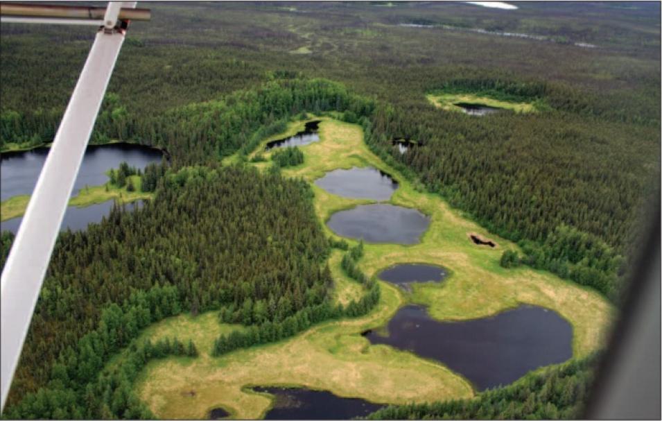
The researchers are now trying to place shrinking lakes into a larger climate context: Is lake drying temporary and reversible, or are disappearing lakes a permanent consequence of climate change? While temperature records across Alaska and many other Arctic and sub-Arctic areas confirm warming, regional climate variations also play a role. Interior Alaska’s climate is governed by a larger pattern, which alternates between warm, dry periods and cool, wet periods. Since the 1970s, Alaska has experienced a warm phase, but recent evidence indicates that the state may be returning to a cooler phase of the pattern. Scientists are not yet sure whether this oncoming shift will restore lower temperatures, or if global warming will prevent significant cooling. Larsen, Verbyla, and other scientists will capture data during the shift, to observe how Alaska’s wetlands and other sub-Arctic ecosystems respond.
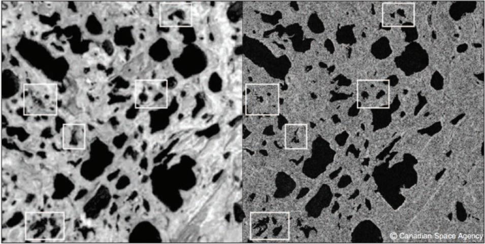
Past lake changes may also provide clues. Verbyla said. “I’m going back in time, using historical aerial photography and satellite imagery to delineate where the lake shorelines were. That will tell us what the variability has been over the last twenty to twenty-five years.” Larsen will take sediment cores to see whether the lakes fluctuated over the past 8,000 years, and determine if Alaska’s wetlands have undergone, and recovered from, a similar drying period.
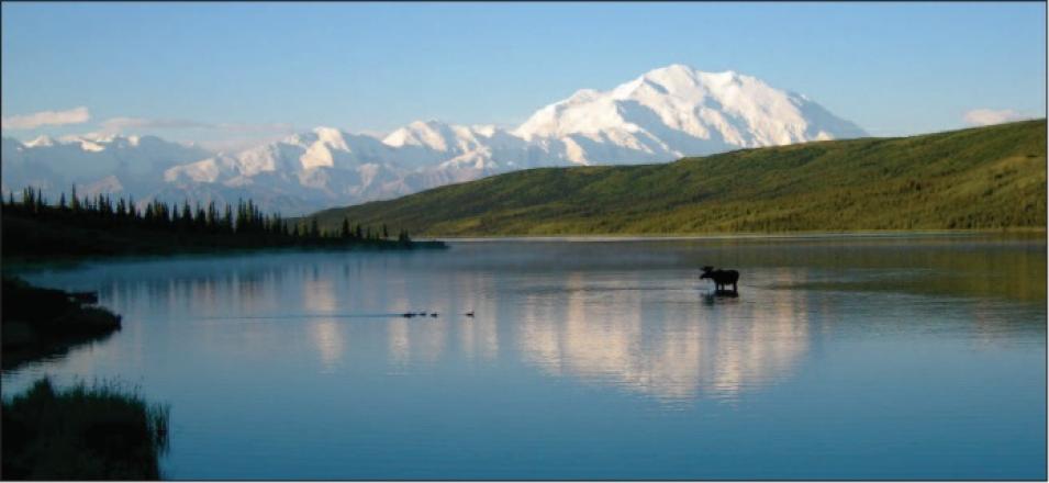
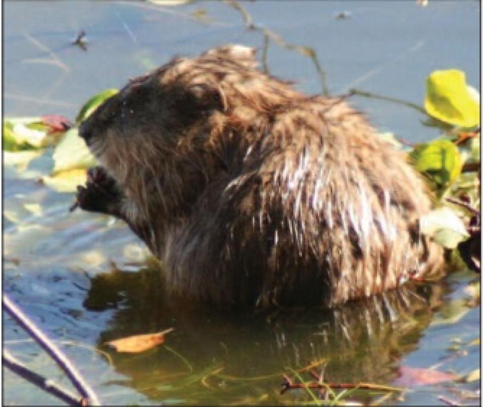
Larsen and Verbyla plan to continue combining satellite data and fieldwork to create a long-term time series of data for interior Alaska’s wetlands. Wetlands provide habitat and feeding grounds for large wildlife populations, and Larson wonders how these changes will affect the state’s national parks. She asked, “How are we going to sustain moose populations in these regions once these important feeding areas are gone? What about muskrats? What about beavers? What happens if we’re losing the lakes that support them?”
References
Larsen, A. S. 2006. Annual report on vital signs monitoring of shallow lakes in Denali National Park and Preserve. https://irma.nps.gov/DataStore/DownloadFile/444414
Riordan, B., D. Verbyla, and A. D. McGuire. 2006. Shrinking ponds in subarctic Alaska based on 1950-2002 remotely sensed images. Journal of Geophysical Research 111, G04002, doi:10.1029/2005JG000150.
For more information
NASA Alaska Satellite Facility Distributed Active Archive Center (ASF DAAC)
Canadian Space Agency RADARSAT-1
National Park Service Central Alaska Network
| About the remote sensing data |
| Satellite |
Canadian Space Agency RADARSAT-1 |
| Sensor |
Synthetic Aperture Radar (SAR) |
| Data set |
Fine-beam SAR data |
| Resolution |
8 meter |
| Parameter |
Land cover |
| DAAC |
NASA Alaska Satellite Facility Distributed Active Archive Center (ASF DAAC) |


