Access a range of datasets and data tools to further your atmospheric research.
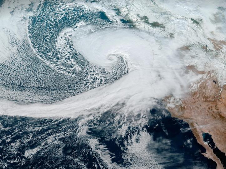
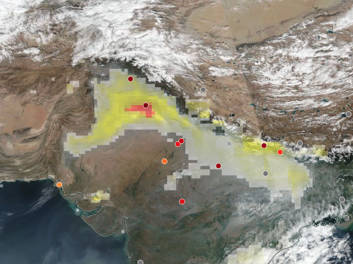
Earth's atmosphere is a layer of mixed gases approximately 60 miles high that provides the air we breathe, shields us from dangerous levels of ultraviolet light from the sun, and traps enough heat to maintain a livable environment. NASA's satellites make atmospheric measurements that scientists use to study its chemistry and air quality, weather, and climate change.
We have thousands of data collections covering topics such as aerosol optical depth, aerosol indexes, chlorine dioxide levels, primary forcing measurements, irradiance products, atmospheric temperatures, binned water vapor mixing ratios, surface turbulent fluxes, rainfall estimates as well as hurricane and severe storm measurements.
Atmosphere Sub-Topics
Latest Atmosphere News
Join Our Community of NASA Data Users
While NASA data are openly available without restriction, an Earthdata Login is required to download data and to use some tools with full functionality.
Learn About the Benefits of Earthdata LoginFrequently Asked Questions
Earthdata Forum
Our online forum provides a space for users to browse thousands of FAQs about research needs, data, and data applications. You can also submit new questions for our experts to answer.
Submit Questions to Earthdata Forumand View Expert Responses


