Dust from deserts, ash from volcanoes, smoke from wildfires, and airborne particles from other related sources can greatly influence the health of our planet and the people living on it. Desert dust is believed to benefit the ecology of the Amazon rainforest and oceans, but can also damage crops. Thin layers of ash can aid agriculture as well, but it is largely considered a hazard for breathing and health, aviation, natural habits, human infrastructure, and more. Likewise, wildfire smoke endangers cardiovascular health, reduces visibility, and can contain toxins. Individually and collectively, dust, ash, and smoke can all affect weather and climate by warming or cooling Earth.

NASA has many powerful platforms analyzing airborne particles and producing datasets measuring dust, ash, and smoke in the atmosphere. Learn more about near real-time ash plume, dust storm, and smoke plume data provided by NASA's Land, Atmosphere Near real-time Capability for Earth observation (LANCE).

Get Dust/Ash/Smoke Data

Access a range of data for studying and tracking dust, ash, and smoke in the atmosphere.

Learn How to Use Dust/Ash/Smoke Data
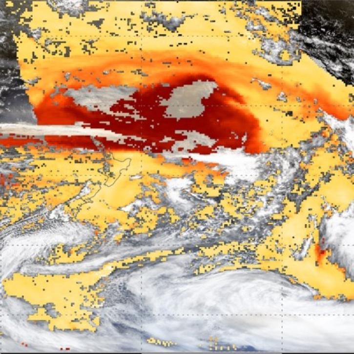
This image shows a smoke plume with high aerosol optical depth from the Australian Bushfires in January 2020. The GEO-LEO Dark Target Aerosol data product is used for this image.
Introduction to NASA's GEO-LEO Dark Target Aerosol Data Products
This webinar introduces the Geostationary Earth Orbit (GEO)-Low-Earth Orbit (LEO) Dark Target Aerosol data product suite and shows how to find, access, and download the data.
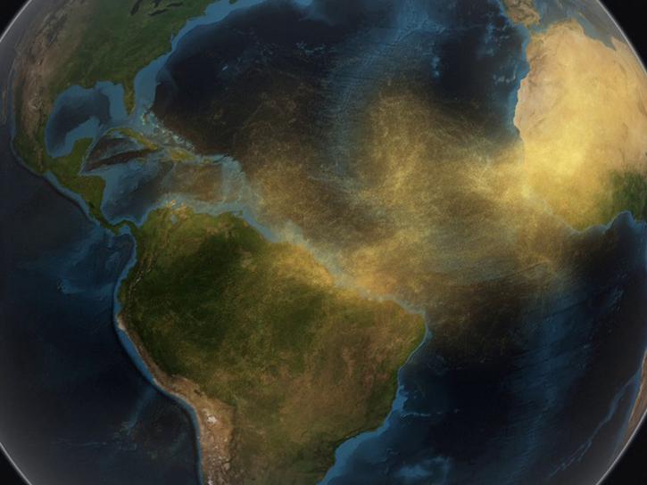
image of dust travelling from the Sahara to the Caribbean
A Clearer View of the Haze – Using NASA GES DISC Data Tools to Examine the June 2020 Sahara Dust Event
Learn how GES DISC tools and data products can augment ongoing vital research on the dynamics of dust transport in Earth’s atmosphere, with the June 2020 Sahara Dust Event over Barbados as a use case.
EMIT instrument data
Meet EMIT, the Newest Imaging Spectrometer on the International Space Station
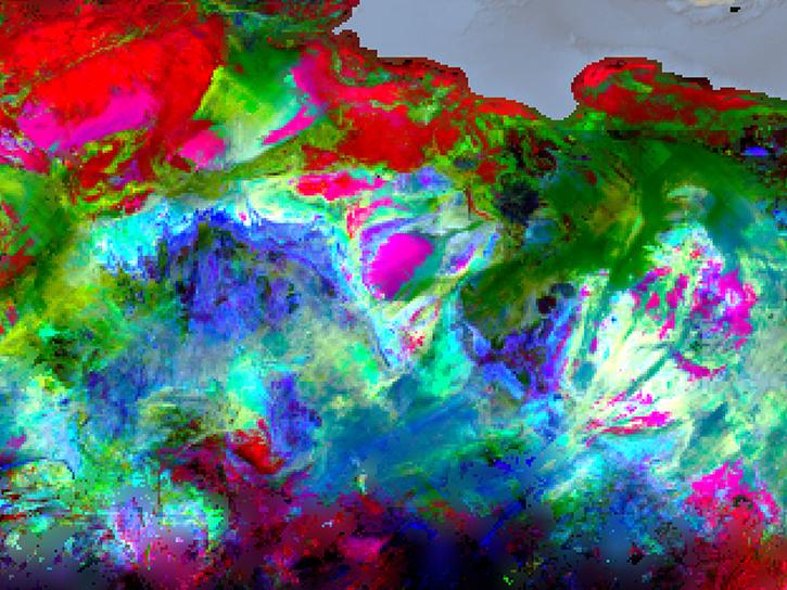
Learn about NASA's Earth Surface Mineral Dust Source Investigation (EMIT) measurements and datasets, along with how to discover, access, and work with EMIT data.
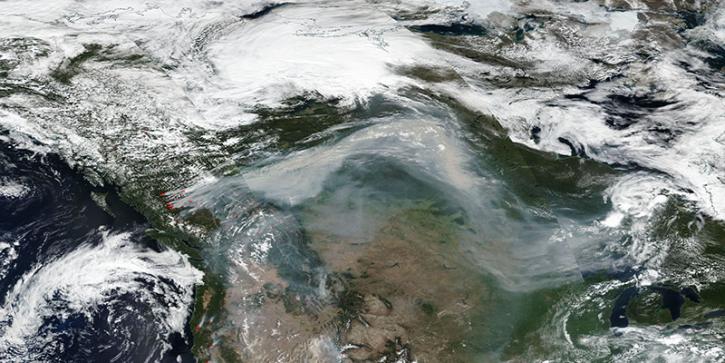
Smoke from fires in British Columbia travel across Canada, 12 Aug 2018 (Suomi-NPP/VIIRS)
Where’s the Smoke Coming From?
Tips for viewing smoke in FIRMS using Corrected Reflectance Imagery or aerosol indices.
Discover and Visualize Dust/Ash/Smoke Data
NASA data help us understand Earth's changing systems in more detail than ever before, and visualizations bring these data to life, making Earth science concepts accessible, beautiful, and impactful.
Data visualization is a powerful tool for analysis, trend and pattern recognition, and communication. Our resources help you find world-class data visualizations to complement and enhance your research. We also have tools and tutorials to help you translate dust, ash, and smoke data into compelling visuals.
Image
Dust Storm in Burkina Faso on 2 May 2021 (Suomi NPP/OMPS and VIIRS)
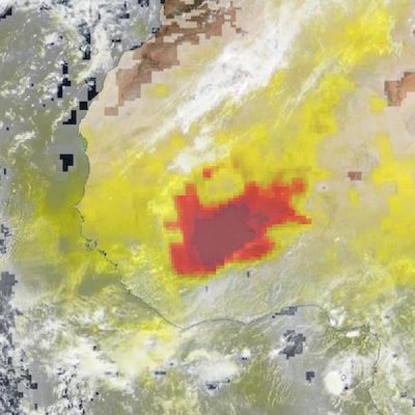
Satellite imagery of a dust storm in Burkina Faso on 2 May, 2021, captured by the Suomi NPP/OMPS and VIIRS instruments.

Join Our Community of NASA Data Users

While NASA data are openly available without restriction, an Earthdata Login is required to download data and to use some tools with full functionality.

Learn About the Benefits of Earthdata Login

Frequently Asked Questions

Earthdata Forum

Our online forum provides a space for users to browse thousands of FAQs about research needs, data, and data applications. You can also submit new questions for our experts to answer.

Submit Questions to Earthdata Forumand View Expert Responses
Earthdata
Forum