Surface temperature or surface air temperature (SAT) generally refer to the temperature of the atmosphere measured at approximately 6.5 feet (about 2 meters) above the ground or ocean surface. SAT is most of often the temperature meteorologists refer to in weather reports and forecasts, and is an essential data point in a vast number of Earth science studies, predictions, and decision-making situations. 

For humans, SAT needs to be within acceptable ranges in order to safely or successfully pursue many activities and industry, live comfortably and be healthy, transport goods and people, grow plants and animals for food, and many other things. Similarly, SAT also directly affects the health and behavior of animals, ecosystems, and other aspects of the natural world by contributing to the conditions that harm them or help them to thrive.

Within NASA's archives, researchers can find global surface temperature datasets from an assortment of land, sea, and space-based platforms including the Aqua satellite and saildrones from NOAA's Atlantic Tradewind Ocean-Atmosphere Mesoscale Interaction Campaign (ATOMIC).

Get Surface Temperature Data

Access a range of datasets and data tools to further your surface temperature research.

Learn How to Use Surface Temperature Data
Access a range of webinars, tutorials, data recipes, and data stories to enhance your knowledge of Earth Observation data.
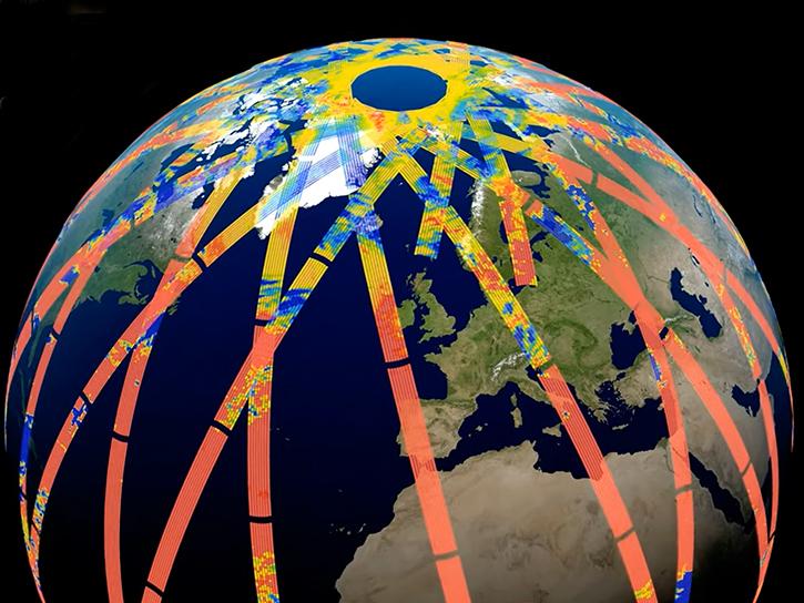
image of Prefire data around Earth
PREFIRE Data at ASDC to Improve Polar System Observations
Data from Polar Radiant Energy in the Far-InfraRed Experiment (PREFIRE), hosted by the Atmospheric Science Data Center (ASDC), will help to bridge a critical knowledge gap in climate science.
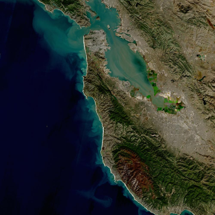
san francisco
A Harmonious New Dataset
The provisional public release of the Harmonized Landsat Sentinel-2 (HLS) dataset through NASA’s LP DAAC opens new avenues for global terrestrial research.
image of globe on top of chart data
New Version 6 AVHRR Long-Term Data Records Available at LAADS DAAC
Version 6 of the Advanced Very High Resolution Radiometer (AVHRR) Long-Term Data Record (LTDR) Products has been released by NASA's Level-1 and Atmosphere Archive and Distribution System Distributed Active Archive Center (LAADS DAAC).
Photograph of Saildrone and researcher
New Saildrone Dataset at NASA’s PO.DAAC
Data from the Atlantic Tradewind Ocean-Atmosphere Mesoscale Interaction Campaign (ATOMIC) shed new light on ocean-atmosphere interactions.
Discover and Visualize Surface Temperature Data
NASA data help us understand Earth's changing systems in more detail than ever before, and visualizations bring these data to life, making Earth science concepts accessible, beautiful, and impactful.
Data visualization is a powerful tool for analysis, trend and pattern recognition, and communication. Our resources help you find world-class data visualizations to complement and enhance your research. We also have tools and tutorials to help you translate surface temperature data into compelling visuals.
Image
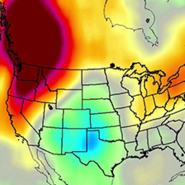
AIRS instrument data over the United States
NASA's Atmospheric Infrared Sounder (AIRS) aboard the Aqua satellite recorded surface and atmospheric temperature measurements from a heat dome progressing across North America in June of 2021. The different shades of color represent degrees in variation from long-term average temperatures. Dark blue represents -15F degrees from average and dark red is +15F or more.

Join Our Community of NASA Data Users

While NASA data are openly available without restriction, an Earthdata Login is required to download data and to use some tools with full functionality.

Learn About the Benefits of Earthdata Login

Frequently Asked Questions

Earthdata Forum

Our online forum provides a space for users to browse thousands of FAQs about research needs, data, and data applications. You can also submit new questions for our experts to answer.

Submit Questions to Earthdata Forumand View Expert Responses

Earthdata
Forum