Due to wildfires in California, NASA's PO.DAAC and JPL are experiencing operational disruptions, which may affect their websites and processing for SMAP, MLS, SWOT, and Sentinel-6a data.
Learn more.
Quick Filters
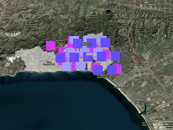
Satellite-based maps offer quick first alerts and approximate locations of potential wildfires that are then precisely tracked and fought by teams on the ground.
Feature Article
The atlas now features NASA Earth science data formatted specifically for geographic information systems (GIS) users.
Feature Article
A common data processing system that can be used for multiple missions will enable broader use of these data and provide them to global users more efficiently.
Feature Article
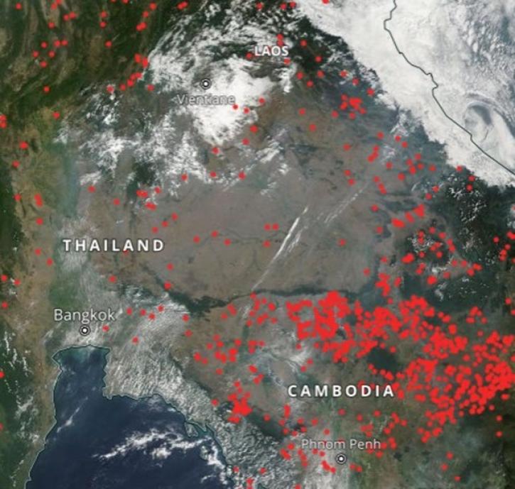
Geographer Veerachai Tanpipat promotes the use of NASA's Fire Information for Resource Management System (FIRMS) throughout the Lower Mekong River Region.
Feature Article
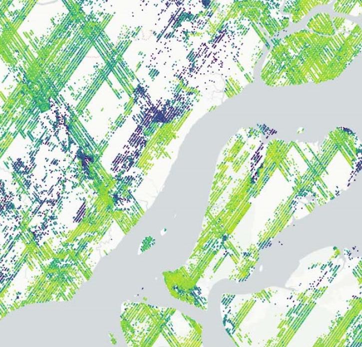
The Global Ecosystem Dynamics Investigation (GEDI) mission’s new product offers insights into habitat quality and ecosystem function.
Feature Article
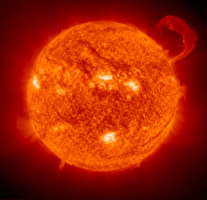
Strong solar storms can impact satellite orbits, instrument health, and data transmission. NASA Earth science satellite teams work to mitigate these challenges.
Feature Article
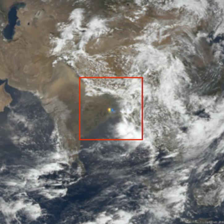
NASA researchers and data offer new insights into the impish and interesting visual phenomenon of sunglint in satellite imagery.
Feature Article
Global and US/Canada active Fire Maps enable users to visualize the location, extent, and impact of wildfires with minimal delay.
Feature Article
