We are in the process of migrating all NASA Earth science data sites into Earthdata from now until end of 2026. Not all NASA Earth science data and resources will appear here until then. Thank you for your patience as we make this transition.
Read about the Web Unification Project
Topography News
Articles, resources, and announcements from Topography.

The products include 3D elevation models, 30-cm black/white and color imagery, and 99-cm orthorectified, multispectral archived and tasked data.
News
Jan. 28, 2026
The addition of HLS data to Azure provides a foundation for next-generation Earth observation capabilities.
Blog
Sept. 30, 2025

This mission-agnostic dataset allows scientists to enhance airborne and spaceborne radar measurements by reducing the atmospheric noise that can obscure ground motion signals.
News
Sept. 19, 2025

Learn more about the NASA Commercial Satellite Data Acquisition (CSDA) program vendor Umbra and how to discover, access, and work with their high-resolution commercial synthetic aperture radar (SAR) data products.
Webinar
Aug. 11, 2025

The NISAR mission kicks off a new era in Earth observation, with two powerful radars tracking planetary change in unprecedented detail.
News
Aug. 4, 2025
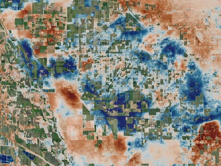
The OPERA Level 3 displacement products provide detailed information on land surface changes, and include the first open-access InSAR time-series displacement products available over North America.
News
May 22, 2025

Join us on Thursday, May 29, to learn about the NASA JPL OPERA Surface Displacement (OPERA-DISP) dataset and how to access and explore the data using ASF DAAC's Displacement Portal.
Webinar
May 14, 2025

Learn more about the NASA Commercial Satellite Data Acquisition (CSDA) program vendor ICEYE US and how to discover, access, and work with ICEYE's high-resolution SAR products.
Webinar
April 15, 2025
SHOWING 8 OF 48