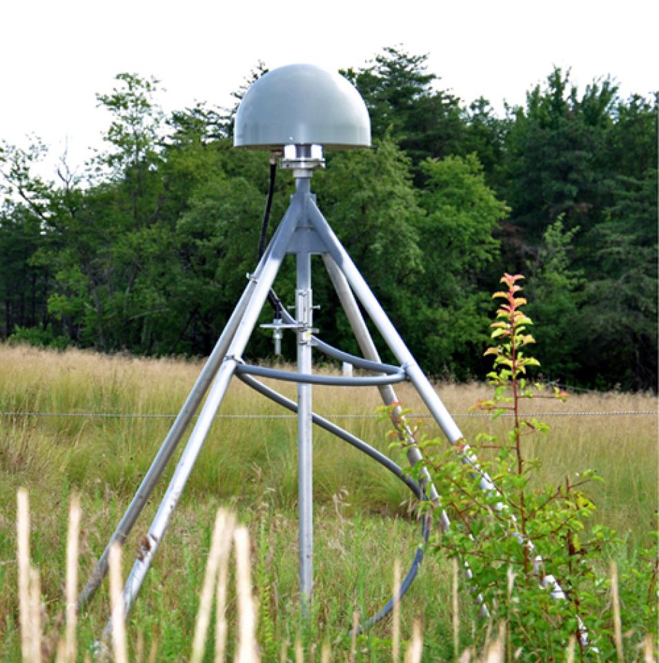
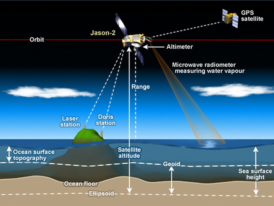
Every day, people around the world use the Global Navigation Satellite System (GNSS) to accurately pinpoint their location on Earth. Yet the amount of effort that goes into building, maintaining, and ensuring high-quality GNSS data is often underestimated.
"It's a bit like turning on a light switch or plugging something into an electrical socket," said Allison Craddock. "You don't sit and contemplate how the electricity works, where the power plant is, or what the infrastructure looks like. It's so ubiquitous and so reliable, most users don’t stop to think about how it is made."
Craddock would know. As director of the Central Bureau of the International GNSS Service (IGS), she has a front-row seat to the effort that goes into making GNSS the reliable global service it has become.
The IGS is a voluntary federation of more than 200 self-funding agencies, universities, and research institutions in more than 100 countries and regions that work together to produce high-quality GNSS data, products, and services. The IGS celebrated its 30th anniversary in January 2024, and according to Dr. Rolf Dach, chair of the IGS Governing Board and professor in the Astronomical Institute at the University of Bern in Switzerland, it’s a noteworthy milestone given the nature of the organization.
"I think the spectacular thing about the IGS is that it's a voluntary organization. There is no commercial commitment, but nevertheless people see it as infrastructure, as something that's always there for them," Dach said. "It shows that we’ve established a very reliable service over these 30 years."
Craddock agrees. "The 30th anniversary shows that this is not just an experiment anymore, that it didn't begin and end with just one group of people," she said. "We now see people coming into it from different parts of the world who are interested and want to participate. In that regard, it's passed the test, and it shows that, hopefully, the organization is here to stay."
Founded in 1994, the IGS provides free and open access to high-precision GNSS data products that support a wide variety of applications in virtually all segments of the global economy. These include products that support realization of the International Terrestrial Reference Frame (ITRF), the standard frame that serves as the basis for any position-based information and includes mapping, 3D modeling, and geographic information systems (GIS). The IGS also provides access to tracking data from more than 500 worldwide reference stations, supports geodetic research and scholarly publications, and fosters the continuous development of new applications and products through working groups and pilot projects.
Since its creation more than three decades ago, the applications for GNSS data and its user base have grown exponentially. The IGS has grown right along with them.

