Content from all Earth science data sites are migrating into this site from now until end of 2026. Not all NASA Earth science data will appear across the site until then. Thank you for your patience as we make this transition.
Read about the Web Unification Project
Volcanic Eruptions News
Articles, resources, and announcements from Volcanic Eruptions.
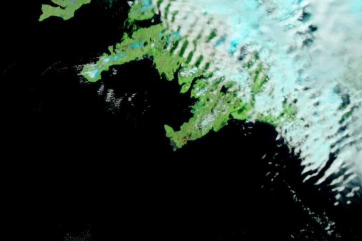
Image captured on June 5, 2024, by the VIIRS instrument aboard the joint NASA/NOAA Suomi NPP satellite.
Worldview Image of the Week
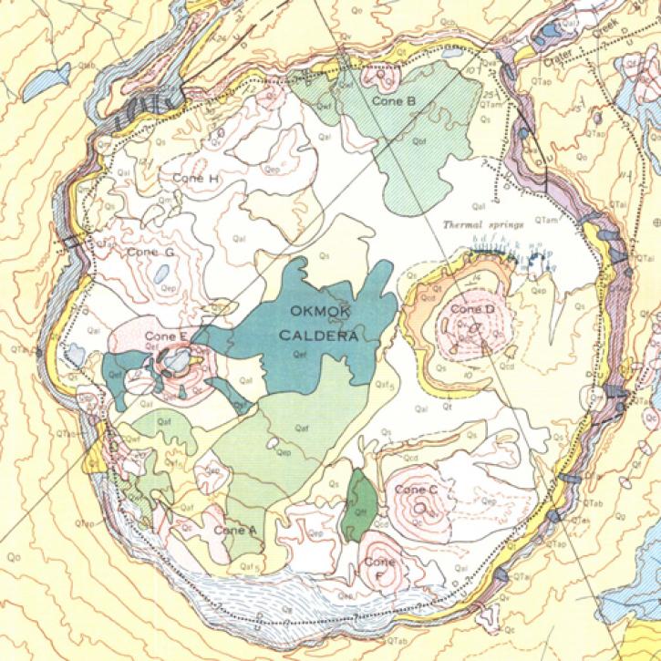
A NASA-funded study used cloud-based synthetic aperture radar data to measure changes in volcanoes in the remote Aleutian Islands.
Feature Article
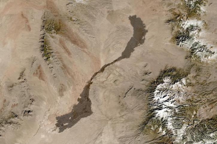
Image captured on Jan 13, 2024, by the MSI instrument aboard the ESA (European Space Agency) Sentinel-2A satellite.
Worldview Image of the Week
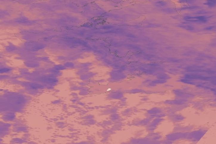
Image captured on Dec 19, 2023, by the VIIRS instrument aboard the joint NASA/NOAA Suomi NPP satellite.
Worldview Image of the Week
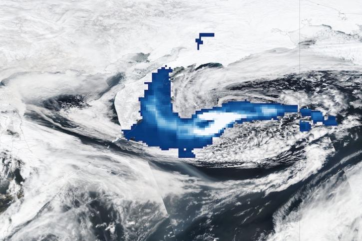
Image captured Apr 12, 2023, by the OMPS and VIIRS instruments aboard the joint NASA/NOAA Suomi NPP satellite.
Worldview Image of the Week

Data from NASA’s ASF DAAC helps scientists like Dr. Zhong Lu develop satellite radar remote-sensing techniques for studying geohazards.
Data User Story
Synthetic aperture radar may give researchers an opportunity to study volcanoes in finer detail than ever before.
Data User Story

Data available from NASA’s LP DAAC helps scientists like Dr. Robert Wright develop systems for autonomously detecting volcanic eruptions from space.
Data User Story
SHOWING 8 OF 21