Delta-X: Feldspar Sediment Accretion Measurements, Mississippi River Delta (MRD), Louisiana 2019-2023, Version 4 Dataset Now Available
The Feldspar Sediment Accretion Measurements, MRD, LA 2019-2023, Version 4 Dataset from the Delta-X Field Campaign is now available from NASA's ORNL DAAC. This dataset provides elevation, hydrogeomorphic zone classification, soil carbon content, bulk density, organic matter content, and sediment accretion measurements collected at feldspar stations established near Louisiana's Coastwide Reference Monitoring Systems (CRMS) sites and on Mike Island in Wax Lake Delta (WLD). The data cover the Delta-X field studies conducted from Fall 2020 through Fall 2023 and the data are provided in comma-separated values (CSV) format.
The Delta-X mission is a 5-year NASA Earth Venture Suborbital-3 mission to study the Mississippi River Delta in the United States, which is growing and sinking in different areas. River deltas and their wetlands are drowning as a result of sea level rise and reduced sediment inputs. The Delta-X mission will determine which parts will survive and continue to grow, and which parts will be lost. Delta-X begins with airborne and in-situ data acquisition and carries through data analysis, model integration, and validation to predict the extent and spatial patterns of future deltaic land loss or gain.
Access Delta-X: Feldspar Sediment Accretion Measurements data and more information
Delta-X: Sediment Core Grain Size Distribution, Wax Lake Delta, Mississippi River Delta (MRD), Louisiana Dataset Released
ORNL DAAC released the Delta-X: Sediment Core Grain Size Distribution, Wax Lake Delta, Mississippi River Delta (MRD), Louisiana (LA) dataset, which provides grain size distribution measurements collected from sediment core samples on Mike Island in the Wax Lake Delta, Louisiana, as part of the Delta-X spring campaign in March 2021 and the fall campaign in August 2021. The data are for March 26 and 29, and August 18 and 24, and are provided in comma separated values (CSV) format.
Access Delta-X Sediment Core Grain Size Distribution data and more information
AVIRIS-3 Level 2A Orthocorrected Surface Reflectance, Facility Instrument Collection Dataset Now Available
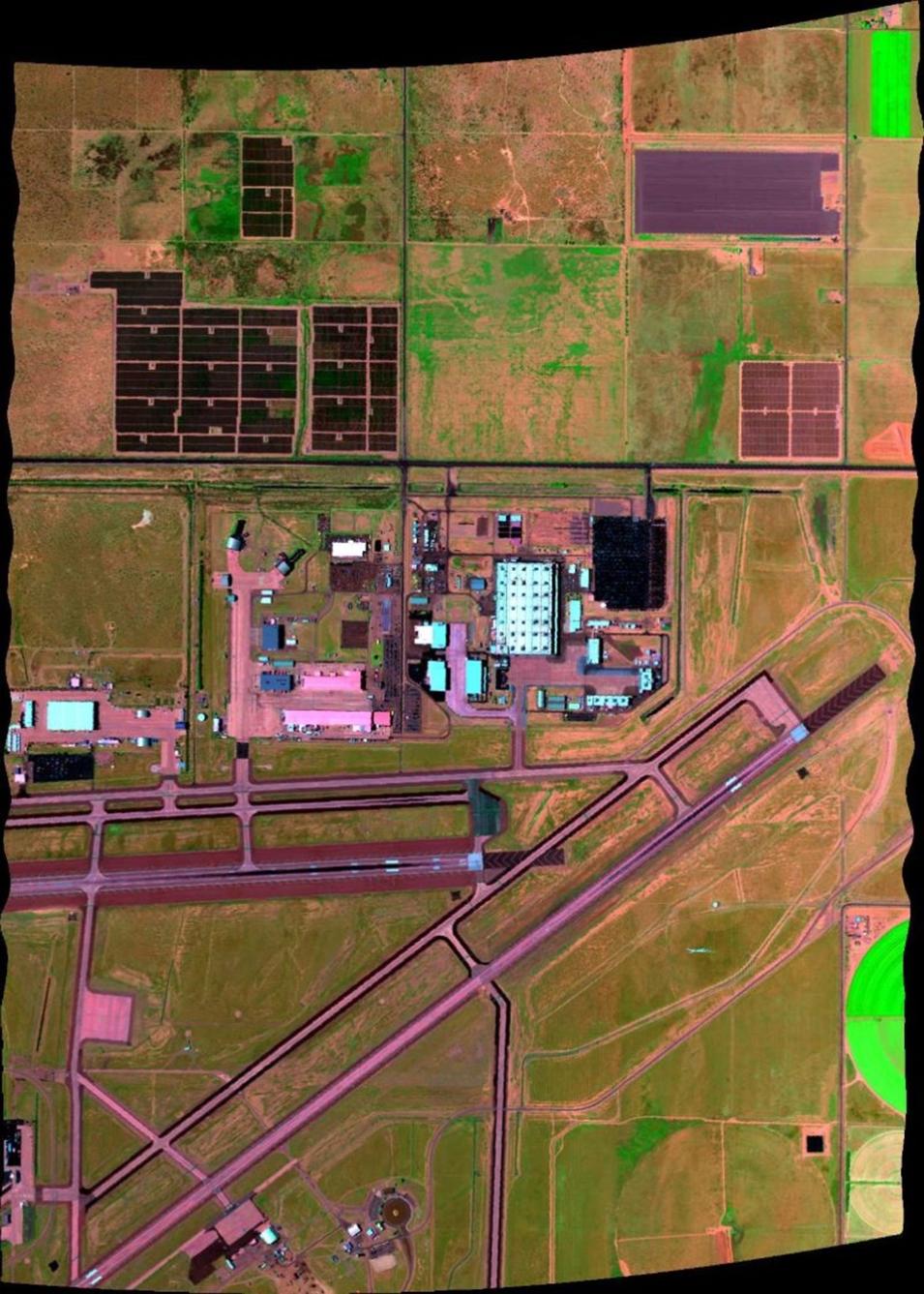
The Airborne Visible/Infrared Imaging Spectrometer-3 (AVIRIS-3) Level 2A Orthocorrected Surface Reflectance, Facility Instrument Collection Dataset is now available from NASA's ORNL DAAC. This dataset contains Level 2A surface reflectance images from the AVIRIS-3 instrument, a spectral mapping system that measures reflected radiance at 7.4-nm intervals in the Visible to Shortwave Infrared (VSWIR) spectral range from 390-2500 nanometers. For each flight line, two file types are included: orthocorrected surface reflectance and orthocorrected reflectance uncertainty in netCDF format. Both file types include data projected in a UTM coordinate system. In addition, ancillary files for each flight line are provided, including a quick look image in GeoTIFF format and text files in YAML format that document processing algorithms and parameters used during production.
Access AVIRIS-3 Level 2A Orthocorrected Surface Reflectance data and more information
