We are in the process of migrating all NASA Earth science data sites into Earthdata from now until end of 2026. Not all NASA Earth science data and resources will appear here until then. Thank you for your patience as we make this transition.
Read about the Web Unification Project
GIS at NASA News
Read the latest news announcements, features, data user stories, and blog posts to learn more about how data users leverage Geographic Information Systems (GIS) to enhance their Earth science research.
News
Filters

Several pollutants measured by TEMPO are available as ArcGIS image services, including nitrogen dioxide vertical column troposphere, formaldehyde vertical column, ozone total column, and cloud fraction.
News
April 1, 2026

11 PACE data products are now available through NASA’s Earthdata Geographic Information Systems imagery services and discoverable via Esri’s ArcGIS Living Atlas of the World.
News
Feb. 9, 2026

Explore how NASA uses geospatial science and technology to provide a multidimensional view of our complex and beautiful planet.
News
Nov. 19, 2025
The AppEEARS QGIS Plugin enables users to browse completed requests from AppEEARS and load cloud-optimized GeoTIFF output files directly into QGIS.
News
June 23, 2025

The atlas now features NASA Earth science data formatted specifically for geographic information systems (GIS) users.
Feature Article
Jan. 7, 2025

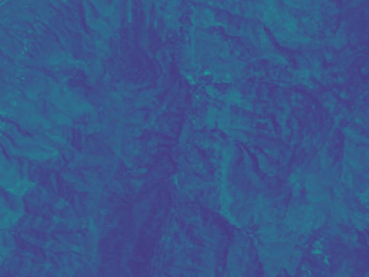
The radiometric terrain corrected synthetic aperture radar data are NASA’s first to meet Committee on Earth Observations Satellites specifications.
News
Dec. 11, 2024

To celebrate GIS Day, take a peek at these illuminating examples of NASA Earth Science leveraging Geographic Information Systems (GIS) to understand our home planet.
News
Nov. 20, 2024

This year’s hackathon will be held Oct 5 and 6 and feature NASA-created challenges along with 400 local events around the world.
News
Sept. 13, 2024
SHOWING 8 OF 27