Content from all Earth science data sites are migrating into this site from now until end of 2026. Not all NASA Earth science data will appear across the site until then. Thank you for your patience as we make this transition.
Read about the Web Unification Project
ICESat Resources
Earthdata resources for users working with NASA’s NASA's Ice, Cloud, and land Elevation Satellite (ICESat) data include tutorials and other learning resources, news announcements such as instrument updates and data releases, user guides and related documents, and frequently asked questions.
Table of contents
ICESat Learning Resources
Working with data in the cloud can seem daunting, but it doesn’t need to be! Join us August 2 at 2 p.m., EDT [UTC -4], for a demonstration of two straightforward workflows for accessing NASA's snow and ice data in the Earthdata Cloud.
Webinar
Join us to learn how to harmonize IceBridge, ICESat-1, and ICESat-2 data products into similar formats and apply the necessary geophysical corrections for users to immediately access, compare, and visualize data using Python and Jupyter Notebook based tools.
Webinar
SHOWING 2 OF 2
ICESat News
View All News
Quick Filters
OpenAltimetry lets users explore changes on Earth’s surface around the globe and over time, and all they need is a web browser.
Feature Article
OpenAltimetry, a cyberinfrastructure platform for working with data from NASA’s Ice, Cloud, and land Elevation Satellite (ICESat) and ICESat-2 missions, is now a full NASA Earth science application.
News
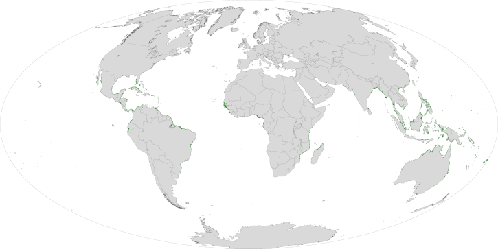
Researchers use remote sensing to measure mangrove forest extent and tree height to inform sustainable management of these ecosystems.
Feature Article
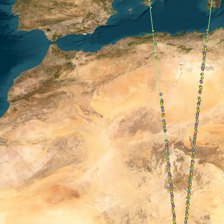
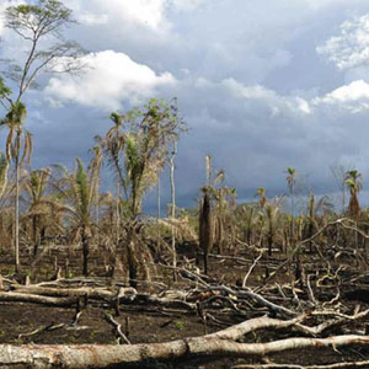
Researchers peer deep into tropical forests, weighing their status as climate balancers.
Feature Article
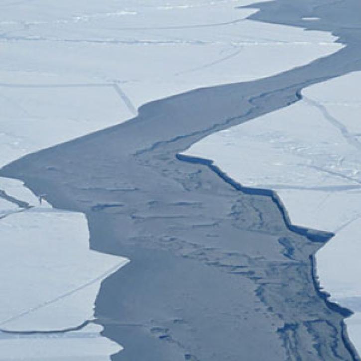
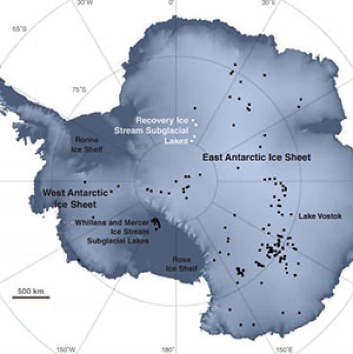
Lakes hidden under the Antarctic ice sheet may play a role in its stability.
Feature Article
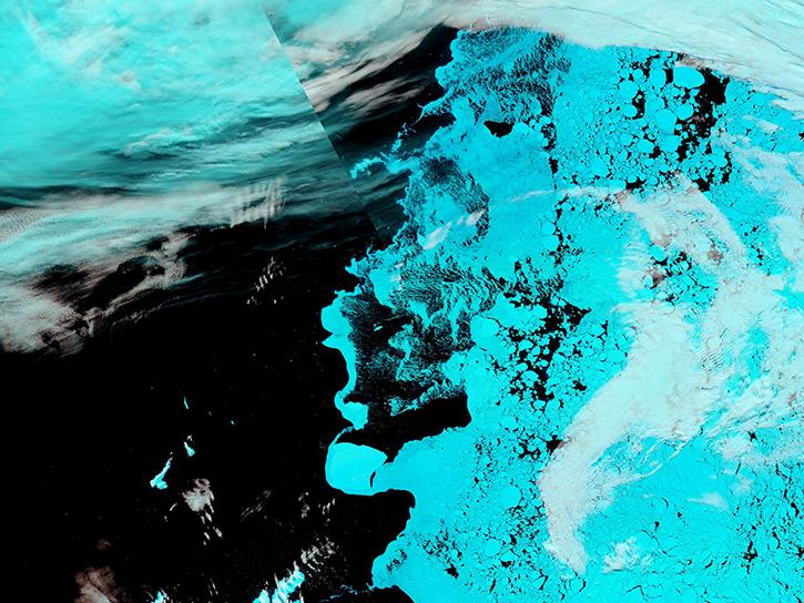
Scientists have determined that Arctic sea ice is on the decline, leading to questions about future climate.
Feature Article
Frequently Asked Questions
Earthdata Forum
Our online forum provides a space for users to browse thousands of FAQs about research needs, data, and data applications. You can also submit new questions for our experts to answer.
Submit Questions to Earthdata Forumand View Expert Responses