Content from all Earth science data sites are migrating into this site from now until end of 2026. Not all NASA Earth science data will appear across the site until then. Thank you for your patience as we make this transition.
Read about the Web Unification Project
OLI Resources
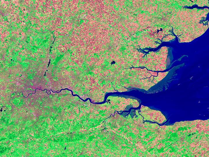
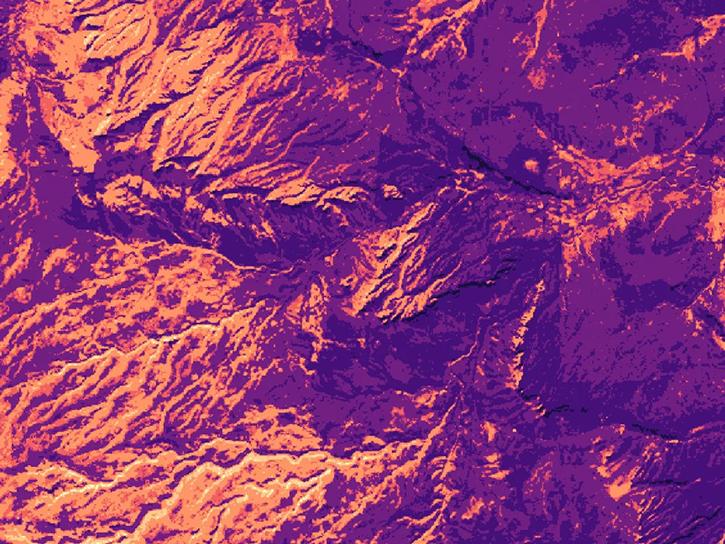
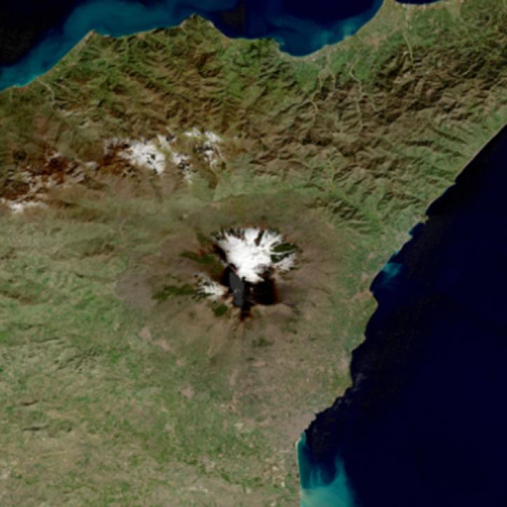
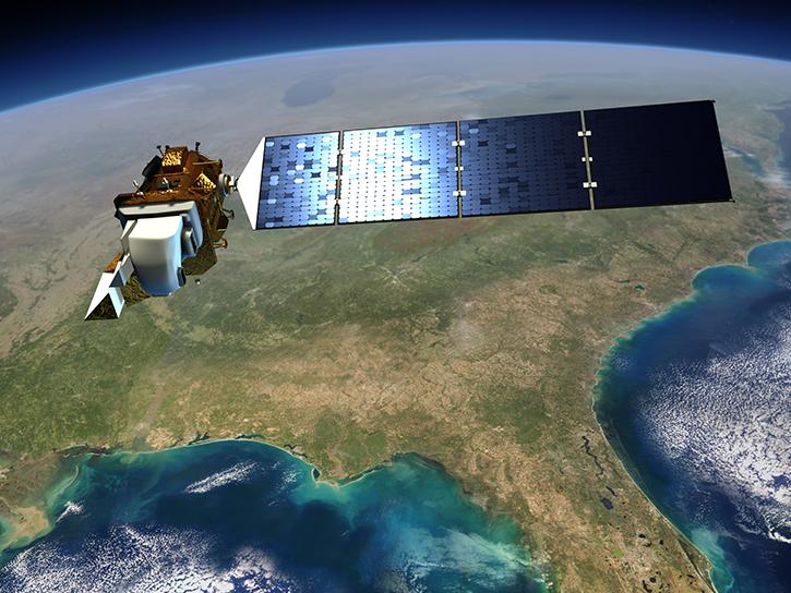
Earthdata resources for users working with NASA’s Operational Land Imager (OLI) include tutorials and other learning resources, news announcements such as instrument updates and data releases, user guides and related documents, and frequently asked questions.
OLI Learning Resources

Use NASA's Application for Extracting and Exploring Analysis Ready Samples (AppEEARS) tool to access data for an area of interest.
Tutorial
Access data for a point of interest using NASA's Application for Extracting and Exploring Analysis Ready Samples (AppEEARS) tool.
Tutorial

Worldview has added an “Available Imagery Dates” selector to help users find Harmonized Landsat and Sentinel-2 (HLS) imagery for their area of interest.
Tutorial
Satellite Needs Working Group (SNWG) solutions, such as Harmonized Landsat Sentinel-2 (HLS), assist agencies with their existing workflows and decision-making processes by creating actionable science.
Data in Action

Learn how to use NASA's Fire Information for Resource Management System (FIRMS) and its enhanced User Interface that provides additional services and analysis capabilities for wildfire management.
Webinar
Learn about the technical details of the Harmonized Landsat Sentinel-2 (HLS) effort from NASA and ESA (European Space Agency) presenters along with data product status and availability.
Webinar
Join us for an introduction to HLS data, services, and tools.
Webinar

Join us to learn more about the new Landsat Analysis Ready Data (ARD), other improvements to the USGS Landsat archive and to hear a status update for the Landsat 9 mission
Webinar
SHOWING 8 OF 10
Two new Earthdata tutorials guide users in accessing Landsat 8 data using the Application for Extracting and Exploring Analysis Ready Samples (AppEEARS) tool.
News

Users of NASA’s Fire Information for Resource Management System (FIRMS) can now differentiate between fires caused by burning vegetation and fires from natural heat sources or industrial heat sources.
Blog

A summary of datasets, products, and resources released by NASA’s Distributed Active Archive Centers (DAACs) in February 2025.
News

These new vegetation indices offer the same near-global coverage, and 30-meter spatial resolution as the initial HLS products.
News
SHOWING 4 OF 74
Frequently Asked Questions
Earthdata Forum
Our online forum provides a space for users to browse thousands of FAQs about research needs, data, and data applications. You can also submit new questions for our experts to answer.
Submit Questions to Earthdata Forumand View Expert Responses