Rangeland Management Needs
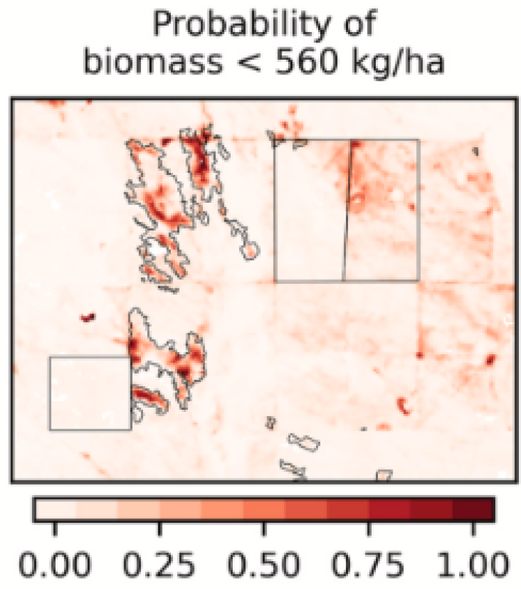
The USDA-Agricultural Research Service (ARS) is conducting research to monitor rangeland conditions during the grazing season, including the amount of biomass available for livestock grazing. However, it remains resource prohibitive for ranchers and other land managers to measure biomass over large areas at the frequency required for adaptive rangeland management.
Satellite Needs Working Group's Solution
The Harmonized Landsat and Sentinel-2 (HLS) dataset, provided by the Satellite Needs Working Group (SNWG), provides surface reflectance at 30-m resolution every two days. Using this data, USDA-ARS developed an HLS-driven biomass model that provides daily maps for adaptive rangeland management decisions at the 16,000 acre Central Plains Experimental Range in Colorado in collaboration with ranchers and other stakeholders. USDA-ARS plans to expand model usage with the U.S. Forest Service on two National Grasslands, totaling over 1 million acres.
