Albedo is a measure of the percentage of sunlight that a surface reflects away. Different parts of Earth’s surface have different albedos. Fresh snow can have an albedo of up to 0.85, meaning that it reflects 85% of the sunlight that hits it. On the other end of the scale, open ocean can have an albedo lower than 0.1, absorbing over 90% of incoming sunlight and reflecting less than 10%. 

One of Earth’s highest-albedo phenomena are clouds, which reflect high percentages of sunlight back into space. Land surfaces with higher albedos include snow, ice, and deserts, while land surfaces with lower albedos include urban areas and forests. Bodies of water also have low albedos. If the average amount of incoming sunlight equals the average amount of outgoing sunlight, Earth’s temperature remains roughly constant over time; otherwise, Earth’s temperature changes. 

NASA’s Earth-observing satellites carry instruments that measure albedo and surface reflectance worldwide. This helps researchers answer crucial questions about how the planet’s temperature is changing over time, the effects of human activity on surface reflectance, and how the Sun’s energy interacts with Earth.

Get Albedo Data

Access a range of datasets and data tools to further your albedo research.


Learn How to Use Albedo Data

Access a range of webinars, tutorials, data recipes, and data stories to enhance your knowledge of Earth Observation data.
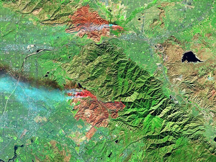
image of VIIRS surface reflectance data
ORNL DAAC's MODIS and VIIRS Data Tools and Services at your Fingertips
Learn how to discover, subset, access and visualize both MODIS and VIIRS data products, including albedo, using a suite of user-friendly tools developed by NASA's ORNL DAAC.
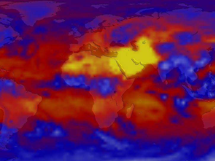
image of CERES global long wave radiation
CERES Subset/Visualization Tool
NASA's Clouds and the Earth's Radiant Energy System (CERES) Subset/Visualization Tool provides the ability to subset, visually browse, and download CERES Level 3 and select Level 2 data products.
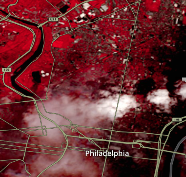
This image shows Reflectance imagery of Philadelphia, PA on July 28, 2022 from Landsat 8/9 OLI (Color Infrared, Bands 5-4-3)
Access Landsat 8 Surface Reflectance Area Data with AppEEARS
This tutorial guides users in working with Landsat 8 Operational Land Imager (OLI) surface reflectance data, which is a property related to albedo.
Discover and Visualize Albedo Data
NASA data help us understand Earth's changing systems in more detail than ever before, and visualizations bring these data to life, making Earth science concepts accessible, beautiful, and impactful.
Data visualization is a powerful tool for analysis, trend and pattern recognition, and communication. Our resources help you find world-class data visualizations to complement and enhance your research. We also have tools and tutorials to help you translate albedo data into compelling visuals.
Image
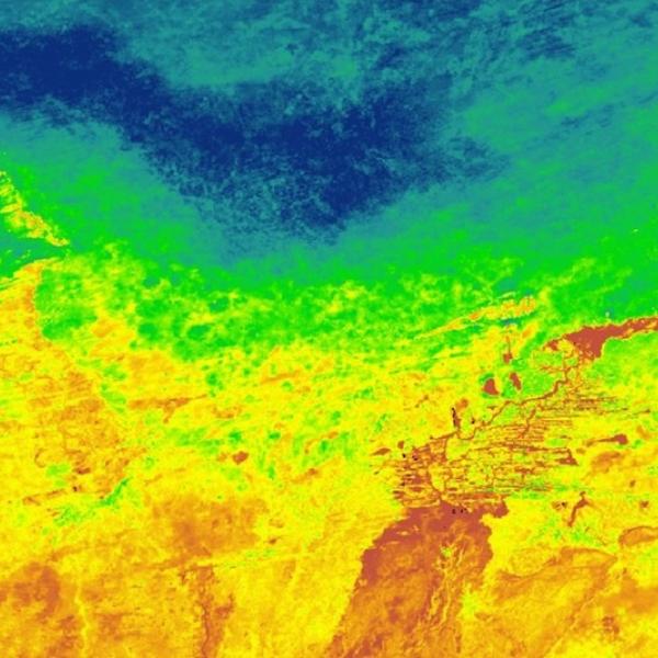
Nadir reflectance day/night band data from the from the VIIRS/SNPP DNB BRDF/Albedo Nadir BRDF-Adjusted Ref Daily Level 3 product over Mali, Africa on July 7, 2023
This image shows nadir reflectance day/night band data from the from the VIIRS/NPP DNB BRDF/Albedo Nadir BRDF-Adjusted Ref Daily Level 3 product over Mali, Africa, on July 7, 2023.

Join Our Community of NASA Data Users

While NASA data are openly available without restriction, an Earthdata Login is required to download data and to use some tools with full functionality.

Learn About the Benefits of Earthdata Login

Frequently Asked Questions

Earthdata Forum

Our online forum provides a space for users to browse thousands of FAQs about research needs, data, and data applications. You can also submit new questions for our experts to answer.

Submit Questions to Earthdata Forumand View Expert Responses

Earthdata
Forum