Access a range of datasets and data tools to further your permafrost research.
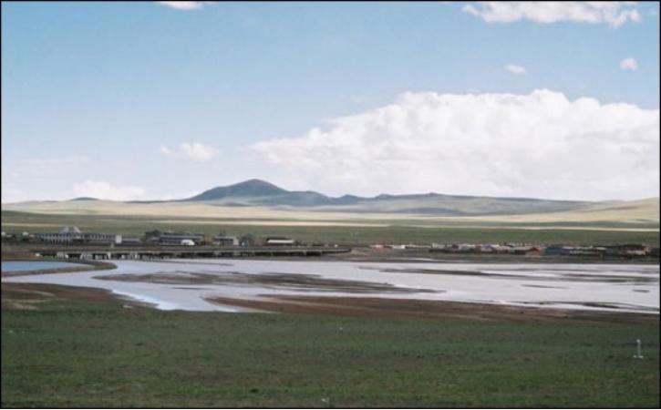
Permafrost is a layer of ground that remains frozen all year round. It often sits beneath a layer of soil that thaws seasonally. Due to rising temperatures, some areas of permafrost are thawing for the first time in years, which releases gases and organic carbon that have profound effects on the surrounding ecosystem. Thawing permafrost can also lead to landslides and erosion that pose danger for infrastructure and wildlife.
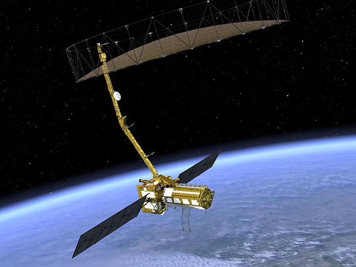
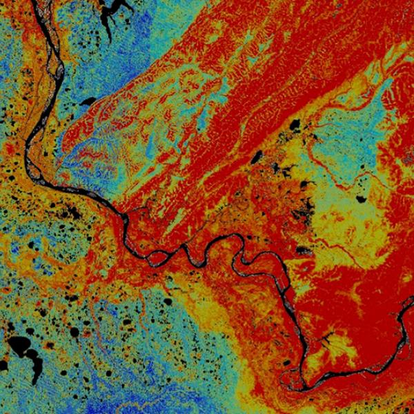
Instruments aboard NASA’s Earth-observing satellites cannot measure permafrost directly, but they can collect soil moisture data through radiometry. This helps scientists estimate the status of permafrost around the world. NASA’s data useful to the study of permafrost also include measures of soil carbon, estimates of permafrost active layer thickness, vegetation data, temperature data, and land surface data.
Learn How to Use Permafrost Data


Join Our Community of NASA Data Users
While NASA data are openly available without restriction, an Earthdata Login is required to download data and to use some tools with full functionality.
Learn About the Benefits of Earthdata LoginFrequently Asked Questions
Earthdata Forum
Our online forum provides a space for users to browse thousands of FAQs about research needs, data, and data applications. You can also submit new questions for our experts to answer.
Submit Questions to Earthdata Forumand View Expert Responses
