Content from all Earth science data sites are migrating into this site from now until end of 2026. Not all NASA Earth science data will appear across the site until then. Thank you for your patience as we make this transition.
Read about the Web Unification Project
Vegetation News
Articles, resources, and announcements from Vegetation.
Learn more about the NASA Commercial Satellite Data Acquisition (CSDA) program vendor Airbus and how to discover, access, and work with their commercial data products.
Webinar
Join us on Wednesday, February 12, 2025, at 2 p.m. EST (-05:00 UTC) to learn how to work with NASA's ICESat-2 land and vegetation height data. A live demonstration will showcase the SlideRule Earth web service which provides on-demand science data processing of ICESat-2 and other geospatial data.
Webinar
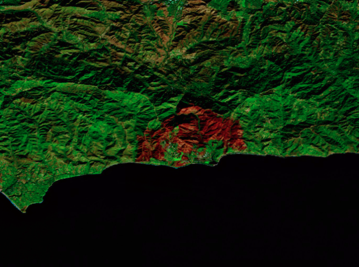
Image captured on Dec 18, 2024, by the MSI instrument aboard ESA's Sentinel-2B platform.
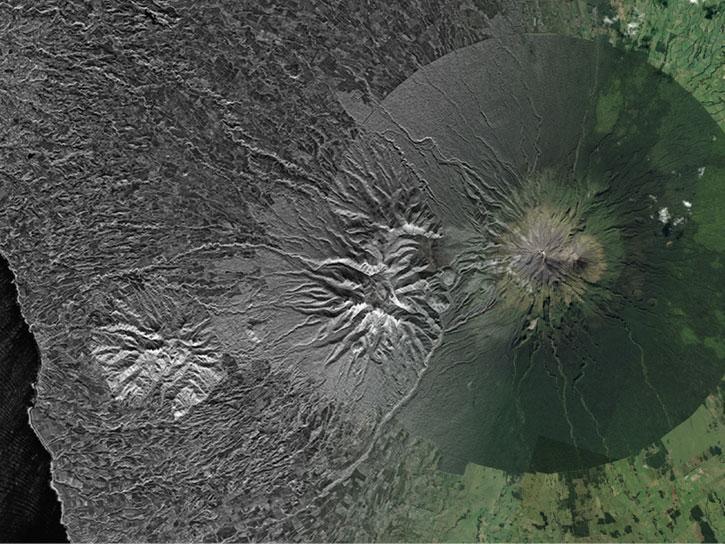
Worldview Image of the Week

This is the first in a four-part webinar series to introduce NASA's Ice, Cloud, and land Elevation-2 (ICESat-2) platform and the platform's data, tools, and applications.
Webinar
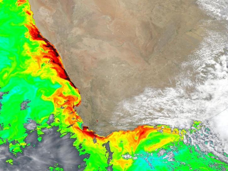
Dark colors indicate high chlorophyll concentrations in this image captured on Oct 22, 2024, by the Ocean Color Instrument (OCI) instrument.
Worldview Image of the Week
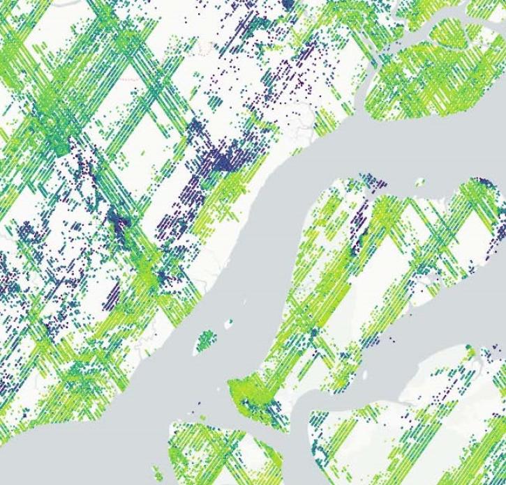
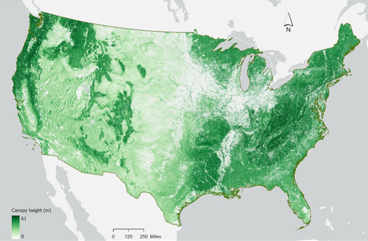
The Global Ecosystem Dynamics Investigation (GEDI) mission’s new product offers insights into habitat quality and ecosystem function.
Feature Article

New ocean color, nighttime lights, corrected reflectance, and other layers have been added to Worldview's extensive catalog of satellite imagery.
News

NASA has long used imaging spectroscopy to peer into space. Now, scientists are using the technology to take a closer look at Earth.
Data User Story
SHOWING 8 OF 92