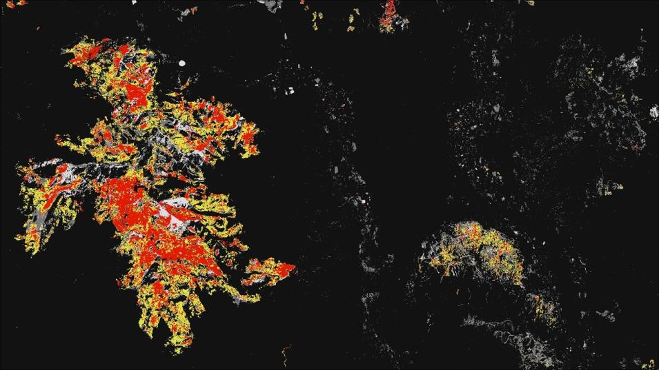
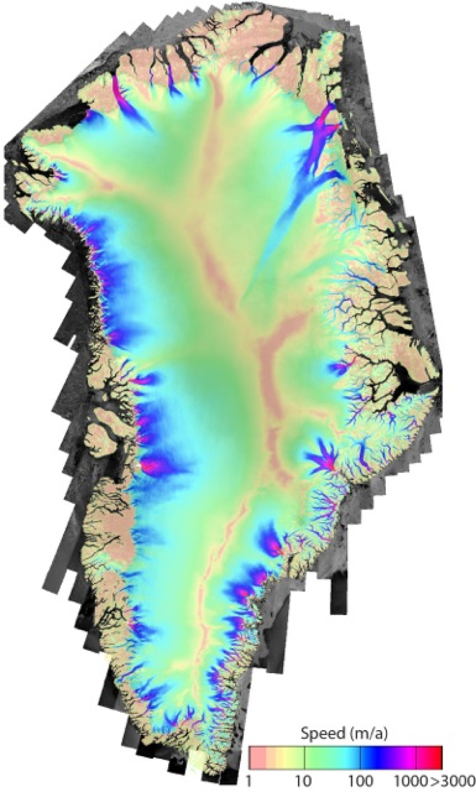
The Making Earth System Data Records for Use in Research Environments (MEaSUREs) Greenland Image Mosaics from Sentinel-1A and -1B, Version 4 and Greenland 6- and 12-day Ice Sheet Velocity Mosaics from synthetic aperture radar (SAR), Version 2 datasets available through NASA's NSIDC DAAC have been updated. The temporal coverage for the image mosaics has been extended until January 31, 2024, and the 6- and 12-day velocity mosaics now spans until January 19, 2024.
Accesss Greenland Image Mosaics data
New ICESat-2 Dataset Available
The Ice, Cloud, and land Elevation Satellite-2 (ICESat-2) Derived Sea Ice Melt Pond Characteristics from the Density-Dimension Algorithm, Version 3 dataset is now available. This dataset provides locations and depths of melt ponds in the Multi-Year Arctic Sea Ice Region (MYASIR) calculated from the Advanced Topographic Laser Altimeter System (ATLAS)/ICESat-2 Level 2A Global Geolocated Photon Data, Version 5 dataset using an auto-adaptive algorithm. The dataset's temporal range is June 4 to August 28, 2020.
Access the ICESat-2 dataset
High Mountain Asia Flood Dataset Released
The High Mountain Asia 30-meter and 8-meter Flood Geomorphic Potential, Version 1 dataset is now available. This dataset contains Flood Geomorphic Potential (FGP) at 30-meter (m) resolution for the High Mountain Asia region and 8-m resolution over Nepal. FGP is a digital elevation model (DEM)-derived index that provides high-resolution flood mapping based on bankfull elevations, defined in terms of river widths, and elevation differences between points under examination and the closest bankfull elevations in the river network. The temporal coverage corresponds to the publication dates of the DEMs used to produce the corresponding FGP indices. For the 30-m files, this date is April 22, 2021; for the 8-m files, it is July 16, 2017.
Access High Mountain Asia FGP data
New SnowEx23 Dataset Available
The SnowEx23 University of Wyoming Ground Penetrating Radar, Version 1 dataset is available from NASA's NSIDC DAAC. This dataset contains the results of ground-penetrating radar surveys conducted at the Arctic Coastal Plain site and the Upper Kuparuk/Toolik site in northern Alaska during the SnowEx23 field campaign. Data include two-way travel time, derived snow depth, and derived snow water equivalent. Temporal range is March 8, 2023, to March 14, 2023.
Access the SnowEx23 Ground Penetrating Radar, Version 1, data
SnowEx20-21 Cameron Pass Dataset Released
The SnowEx20-21 Cameron Pass Derived Snowpack Relative Permittivities and Densities from Ground Penetrating Radar, Version 1 dataset is now available. This dataset contains the results of ground-penetrating radar surveys conducted at Cameron Pass, Colorado, during the SnowEx20 campaign. Data include two-way travel time, lidar-measured snow depth, derived snow water equivalent, derived snow density, and derived relative permittivity. Temporal range is December 18, 2019, to May 27, 2021.
Access the SnowEx20-21 Cameron Pass Dataset
New MODIS/Terra Snow Cover Climatology Dataset
A new MODIS/Terra Global Annual 0.01 Deg Climate Modelling Grid Snow Cover Climatology, Version 1 dataset at NASA's NSIDC DAAC presents new global snow cover classification regimes derived from the MODIS/Terra cloud gap-filled Normalized Difference Snow Index data, elevation, and temperature climatology inputs. Temporal range is March 1, 2000, to July 31, 2023.
Access the new MODIS/Terra Snow Cover Climatology dataset
New IceBridge Airborne Topographic Mapper (ATM) Dataset
The IceBridge Airborne Topographic Mapper (ATM) Waveform Derived Snow Effective Grain Radius, Version 1 dataset is now available. This dataset contains surface grain size estimates of snow and ice derived from waveform measurements from ATM narrow-swath and wide-swath instrumentation. The spatial extent spans the Arctic with the majority of data occurring on the Greenland ice sheet. Temporal coverage spans from July 17, 2017, to September 11, 2019.
Access the IceBridge ATM dataset and more information
ATLAS/ICESat-2 ATL14 and ATL15 Datasets Retired
The ATLAS/ICESat-2 Level 3B Gridded Antarctic and Arctic Land Ice Height (ATL14), Version 2 and ATLAS/ICESat-2 Level 3B Gridded Antarctic and Arctic Land Ice Height Change (ATL15), Version 2 datasets have been retired as of April 29, 2024. Access to the data is no longer available. Dataset documentation will remain accessible for future reference. Users should transition to Version 3 of these datasets.
More information about the ATL14 and ATL15 dataset retirement
Physical Oceanography DAAC (PO.DAAC)
GHRSST Level 2P NOAA-20/NOAA-21 VIIRS Version 3.0 Sea Surface Temperature datasets from NAVO Now Available
NASA's PO.DAAC released the Naval Oceanographic Office (NAVO) VIIRS Level 2P v3.0 Sea Surface Temperature (SST) datasets from the VIIRS instruments aboard the Joint Polar Satellite System (JPSS) NOAA-20 and NOAA-21 satellites. The Level 2P datasets are reported in the instrument native swath projection with 750-meter (along) x 750-meter (across) spatial resolution, and provide global near daily-coverage of SST at 1-meter depth.
These new datasets complement the existing NAVO Suomi NPP VIIRS Level 2P dataset, and are produced with NAVO's Level-2 SST processor version 3.0. The datasets are formatted in netCDF4 and are compliant with the Group for High Resolution Sea Surface Temperature (GHRSST) Data Processing Specification v2.0. Detailed information regarding the GHRSST L2P products is available from PO.DAAC's GHRSST mission webpage.
Access the new NAVO SST datasets and more information
The Jupyter notebook tutorials and resources for the Surface Water and Ocean Topography (SWOT) mission in the PO.DAAC Cookbook have been updated. The cookbook now includes the recent SWOT data release on March 6, 2024, and offers ample tutorials to help users explore SWOT hydrology and oceanography datasets in the cloud or on their local machines.
Select Jupyter notebooks in the cookbook's SWOT Chapter include:

