NASA's Earth Observing System (EOS) program comprises a series of polar-orbiting and low-inclination satellites designed to monitor and understand Earth systems through long-term global observations. LP DAAC archives data for a number of EOS missions.
MODIS
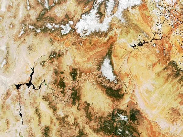
The Moderate Resolution Imaging Spectroradiometer (MODIS) instrument is operating aboard both the Terra and Aqua spacecraft. It views the entire surface of the Earth every one to two days. MODIS data contribute to a range of land and water application areas including wildfire monitoring, temperature and emissivity changes, land surface change, vegetation and ecosystem dynamics, natural disasters, and agriculture studies. View a list of MODIS products archived by LP DAAC.
ASTER
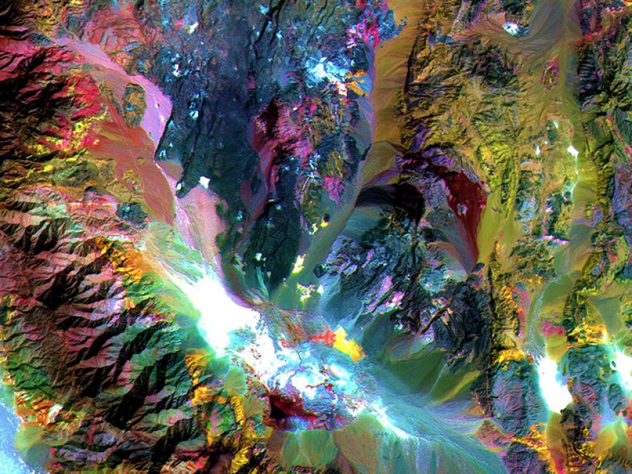
Advanced Spaceborne Thermal Emission and Reflection Radiometer (ASTER) data contribute to a wide array of global change-related application areas including vegetation and ecosystem dynamics, hazard monitoring, geology and soils, hydrology, and land cover change. The ASTER instrument is aboard the Terra satellite and is taskable and able to be scheduled for on-demand data acquisition requests. View a list of ASTER products archived by LP DAAC.
VIIRS
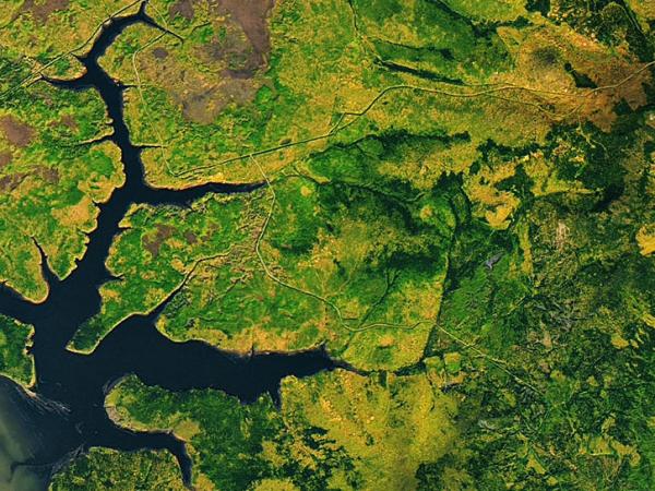
The Visible Infrared Imaging Radiometer Suite (VIIRS) is aboard both the NASA/NOAA Suomi National Polar-orbiting Partnership (Suomi NPP) and the NOAA-20 satellites. VIIRS observes the entire Earth’s surface twice each day, once during the day and once at night. VIIRS data contribute to a range of land and water application areas including wildfire monitoring, temperature and emissivity changes, land surface change, vegetation and ecosystem dynamics, natural disasters, and agriculture studies. Generated in a similar format to the Moderate Resolution Imaging Spectroradiometer (MODIS), VIIRS data products aim to provide continuity with the MODIS mission. View a list of VIIRS products archived by LP DAAC.
ECOSTRESS
Principal Investigator: Simon Hook, NASA/Caltech Jet Propulsion Laboratory
The ECOsystem Spaceborne Thermal Radiometer Experiment on Space Station (ECOSTRESS) is aboard the International Space Station (ISS) and measures the temperature of plants to better understand how much water plants need and how they respond to stress. ECOSTRESS addresses three overarching science questions: How is the terrestrial biosphere responding to changes in water availability? How do changes in diurnal vegetation water stress impact the global carbon cycle? Can agricultural vulnerability be reduced through advanced monitoring of agricultural water consumptive use and improved drought estimation? ECOSTRESS uses a multispectral thermal infrared radiometer to measure the surface temperature. The radiometer obtains detailed images of the Earth’s surface that can provide information on the temperature of an individual farmer’s field. View a list of ECOSTRESS products archived by LP DAAC.
EMIT
Principal Investigator: Robert O. Green, NASA Jet Propulsion Laboratory
The Earth Surface Mineral Dust Source Investigation (EMIT) instrument aboard the International Space Station (ISS) measures visible to short-wave infrared (VSWIR) wavelengths of the surface mineralogy of arid dust source regions via imaging spectroscopy. The data collected by the EMIT instrument will be used to map relative abundance of source minerals to advance our understanding of the current and future role of mineral dust in the radiative forcing (warming or cooling) of the atmosphere. View a list of EMIT products archived by LP DAAC.
GEDI
Principal Investigator: Ralph Dubayah, University of Maryland
The Global Ecosystem Dynamics Investigation (GEDI) is a full-waveform lidar instrument aboard the International Space Station (ISS) that produces detailed observations of the 3-dimensional structure of the Earth’s surface. GEDI precisely measures forest canopy height, canopy vertical structure, and surface elevation which enhances our understanding of global carbon and water cycle processes, biodiversity, and habitat. GEDI is the first of its kind to provide high resolution laser ranging observations optimized for lidar measurements of the Earth’s forests and topography at the highest resolution and densest sampling of any other lidar instrument in orbit. Data from GEDI is archived and distributed by the LP DAAC. View a list of GEDI products archived by LP DAAC.
HLS
Co-Investigators: Jeffrey Masek, NASA Goddard Space Flight Center and Junchang Ju, University of Maryland
The Harmonized Landsat Sentinel-2 (HLS) project is a NASA initiative to produce seamless, harmonized surface reflectance data from the Operational Land Imager (OLI) aboard the joint NASA/USGS Landsat 8 and Landsat 9 satellites and the Multi-Spectral Instrument (MSI) aboard Europe’s Copernicus Sentinel-2A, Sentinel-2B, and Sentinel-2C satellites. The aim is to produce seamless products with normalized parameters, which include atmospheric correction, cloud and cloud-shadow masking, geographic co-registration and common gridding, bidirectional reflectance distribution function, and spectral band adjustment. This will provide global observation of the Earth’s surface every 2-3 days with 30 meter spatial resolution. Applications that will benefit include agriculture assessment and monitoring, and phenology. View a list of HLS products archived by LP DAAC.
SNWG OPERA Disturbance
Investigator: Matt Hansen, University of Maryland
The Global Land Disturbance Mapping for JPL Observation Products for End-Users for Remote Sensing Analysis (OPERA) at the University of Maryland, is sponsored by NASA and developed at the Jet Propulsion Laboratory (JPL) in response to scientific gaps identified by the Satellite Needs Working Group (SNWG). The OPERA land Disturbance (DIST) product suite will provide near-global, per-pixel land surface change from Harmonized Landsat Sentinel-2 (HLS) scenes. The primary focus of the DIST product suite is to map vegetation cover loss along with general disturbance trends every 2–3 days with 30 meter spatial resolution. For more information on the OPERA DIST product suite, visit the DIST JPL product site.
Future Missions
VIIRS JPSS-2/NOAA-21
VIIRS is aboard the NOAA-21 satellite, which was launched on November 10, 2022. After its launch, JPSS-2 was renamed NOAA-21. JPSS-2 is the third VIIRS platform, expanding upon the previously launched S-NPP and JPSS-1 platforms. VIIRS S-NPP and JPSS-1 products are distributed by LP DAAC. VIIRS has 22 spectral bands ranging from 412 nm to 12 µm. There are 16 moderate-resolution bands (750m at nadir), five image-resolution bands (375m), and one day-night band (DNB). VIIRS observes the entire Earth’s surface twice each day, once during the day and once at night. VIIRS data contribute to a range of land and water application areas including wildfire monitoring, temperature and emissivity changes, land surface change, vegetation and ecosystem dynamics, natural disasters, and agriculture studies. Generated in a similar format to MODIS, VIIRS data products aim to provide continuity with the MODIS mission.


