We are in the process of migrating all NASA Earth science data sites into Earthdata from now until end of 2026. Not all NASA Earth science data and resources will appear here until then. Thank you for your patience as we make this transition.
Read about the Web Unification Project
Data Recipes
Follow one of our data recipes to accomplish a specific task, such as converting data into a certain format for analysis or visualization.
Featured Data Recipes

3 MIN READ
Learn how to create a time-enabled multidimensional mosaic dataset using GeoTIFF/COG files within the GIS desktop program ArcGIS Pro.
Nov. 17, 2025
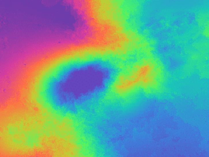
11 MIN READ
Learn how to phase unwrap an interferogram in this data recipe from NASA’s Alaska Satellite Facility Distributed Active Archive Center (ASF DAAC).
Oct. 18, 2024
Filters
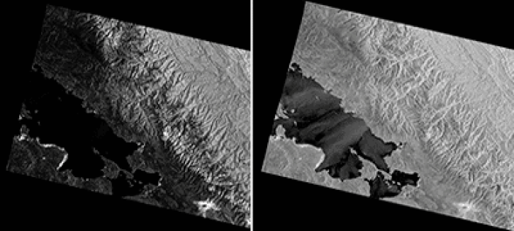
5 MIN READ
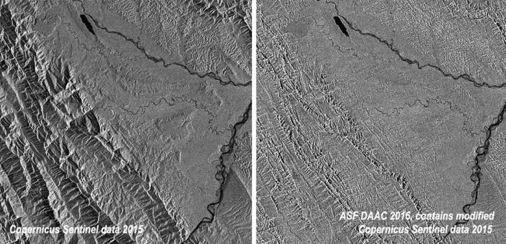
This data recipe shows users how to use GAMMA software and scripts for high-quality results to correct distortions in SAR images.
Oct. 2, 2024
8 MIN READ
This data recipe provides steps to construct a Harmony request URL to find S-1 InSAR data and perform subsetting using the GDAL Subsetter.
Oct. 2, 2024
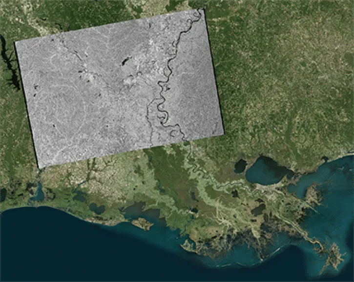
17 MIN READ
This data recipe shows how to geocode Sentinel-1 GRD products in ArcGIS using the Project Raster tool.
Oct. 2, 2024
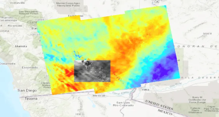
10 MIN READ
This data recipe describes methods used to create an inundation animation from PALSAR RTC and map that quantifies the number of events from the data.
Oct. 2, 2024
![This image shows Geocoded RGB Composite Image of Bucharest, Romania in Google Earth. Credit: ASF DAAC 2017; Contains modified Copernicus Sentinel data [2015] processed by ESA](https://earthdata.nasa.gov/s3fs-public/styles/hds_generic_card/public/2024-09/rgb-resulting-image.jpg?VersionId=g3VhlSo.o6e0osh0mRBH1pszhjJKgbgX&itok=7pmIc5-N)
17 MIN READ
In this data recipe, you will learn how to create a coherence-based multi-temporal color composite of land coverage using the European Space Agency (ESA) Sentinel-1 Toolbox.
Oct. 2, 2024
4 MIN READ
This data recipe shows how to radiometrically terrain correct Sentinel-1A GRD (SAR) data using the Sentinel-1 Toolbox software in the command line.
Oct. 2, 2024
7 MIN READ
This data recipe reviews the steps to create a mosaic of two Sentinel-1 IW Ground Range Detected (GRD) products in different swaths.
Oct. 2, 2024

8 MIN READ
Learn how to use the CloudFormation Template to automate the processing of Sentinel-1 radiometrically terrain-corrected (RTC) products.
Oct. 2, 2024
SHOWING 8 OF 61