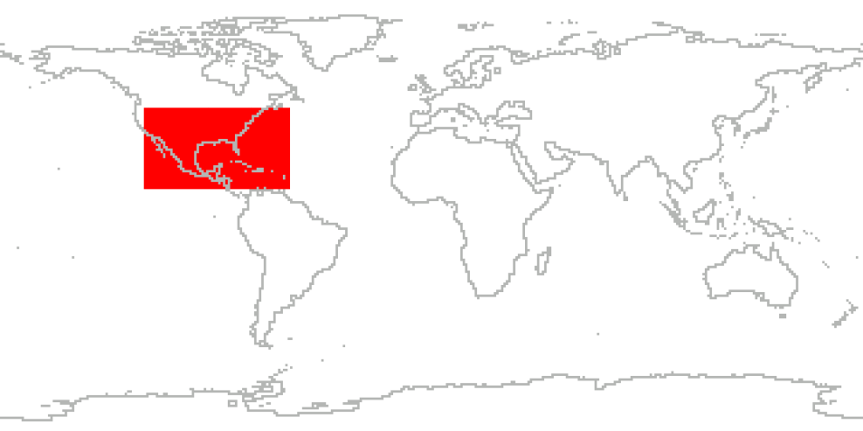
NASA's Hurricane and Severe Storm Sentinel (HS3) project specifically targeted to investigate the processes that underlie hurricane formation and intensity change in the Atlantic Ocean basin. The five-year project aimed to assess the relative storm development roles of large-scale environment and storm-scale internal processes, to address the controversial role of the Saharan Air Layer (SAL) in tropical storm formation and intensification, and to study the role of deep convection in the inner-core region of storms.
To achieve these goals, sustained measurements over several years were needed. Field measurements took place for one month during each hurricane season from 2012 through 2014. The HS3 campaign utilized two NASA Global Hawk unmanned aircraft, one fitted with instruments geared toward measurement of the environment and the other containing instruments suited to measurement of inner-core structure and processes.
The environmental payload had the scanning High-resolution Interferometer Sounder (S-HIS), the Cloud Physics Lidar (CPL), and the Airborne Vertical Atmospheric Profiling System (AVAPS) dropsonde system; the over-storm payload included the High Altitude Imaging Wind and Rain Airborne Profiler (HIWRAP) conically scanning Doppler radar, the Hurricane Imaging Radiometer (HIRAD) multi-frequency interferometric radiometer, and the High Altitude monolithic microwave integrated Circuit (MMIC) Sounding Radiometer (HAMSR) microwave sounder.
Cite the Collection
To cite the entire collection, please use the following:
Braun, Scott, Paul Newman. 2018. Hurricane and Severe Storm Sentinel (HS3) Data Collection [indicate subset used]. Data available online [http://earthdata.nasa.gov/centers/ghrc-daac] from the NASA EOSDIS Global Hydrometeorology Resource Center Distributed Active Archive Center, Huntsville, Alabama, U.S.A. doi: http://dx.doi.org/10.5067/HS3/DATA101
For more information on citing data archived by NASA's Global Hydrometeorology Resource Center Distributed Active Archive Center (GHRC DAAC), see NASA's data use policy.
General Characteristics
| Collections | HS3 |
|---|---|
| Projects | Earth Venture Mission |
| Platforms | NASA Global Hawk, WB-57 |
| Sensors/Instruments | AVAPS, S-HIS, CPL, HIWRAP, HIRAD, HAMSR |
| Parameters | precipitation, atmospheric pressure, atmospheric water vapor, clouds, atmospheric winds, atmospheric temperatures, microwave observations, radar reflectivity |
| Processing level | 4> |
| Formats | netCDF-3/CF, netCDF-4, ASCII, netCDF-4/CF, ASCII-IWG1, ASCII-eol, HDF-5 |
