Content from all Earth science data sites are migrating into this site from now until end of 2026. Not all NASA Earth science data will appear across the site until then. Thank you for your patience as we make this transition.
Read about the Web Unification Project
NOAA-15 Resources
Earthdata resources for users working with NASA’s National Oceanic and Atmospheric Administration-15 (NOAA-15) data include tutorials and other learning resources, news announcements such as instrument updates and data releases, user guides and related documents, and frequently asked questions.
Table of contents
NOAA-15 Learning Resources
Use a Python script to convert Infrared Global Geostationary Composite McIDAS data into PNG format and display the infrared composite as an image outside of McIDAS software.
Data Recipe
SHOWING 1 OF 1
NOAA-15 News
View All News
Quick Filters
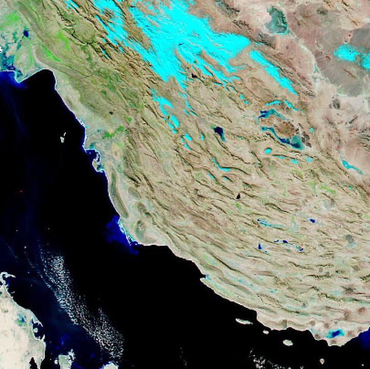
With the eventual retirement of the Terra and Aqua platforms, the Visible Infrared Imaging Radiometer Suite (VIIRS) instruments will take the lead in daily Earth observations.
Feature Article
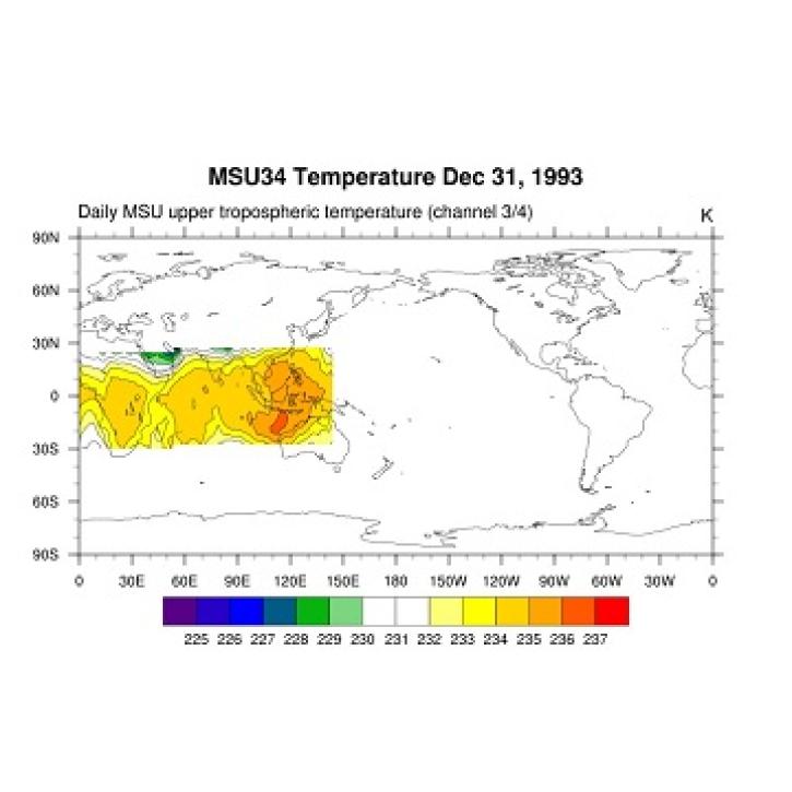
Data from NASA’s GES DISC helps scientists like Dr. Nadia Smith build and improve retrieval systems that provide important information to climate scientists and meteorologists around the globe.
Data User Story
Who uses NASA Earth science data? Dr. Emily Berndt, to improve short-term forecasts of high-impact weather.
Data User Story
Earth's atmosphere is more complex than previously thought.
Feature Article
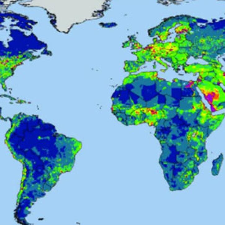
Research shows where people use more than the environment can provide, with implications for food security.
Feature Article
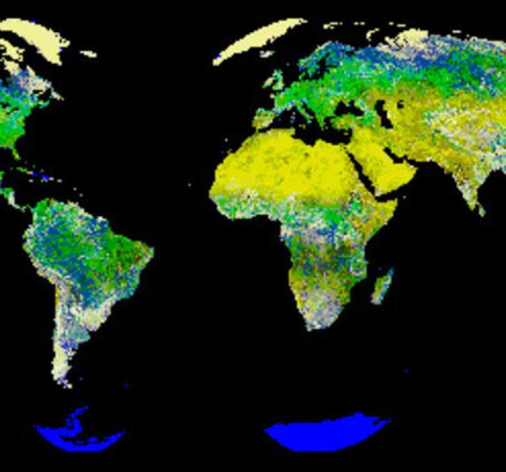
New logic for classifying vegetation using the Global Land AVHRR Dataset (GLAD).
Feature Article
Cloud reflective properties and their effects on the global radiation balance.
Feature Article
SHOWING 7 OF 7
Frequently Asked Questions
Earthdata Forum
Our online forum provides a space for users to browse thousands of FAQs about research needs, data, and data applications. You can also submit new questions for our experts to answer.
Submit Questions to Earthdata Forumand View Expert Responses


