Content from all Earth science data sites are migrating into this site from now until end of 2026. Not all NASA Earth science data will appear across the site until then. Thank you for your patience as we make this transition.
Read about the Web Unification Project
JERS-1 Resources
Read the latest Japanese Earth Resources Satellite (JERS-1) news and access learning resources designed to help you optimize your Earth science research.
JERS-1 Learning Resources
This data recipe identifies how to view and geocode CEOS format files using ASF’s MapReady software.
Data Recipe
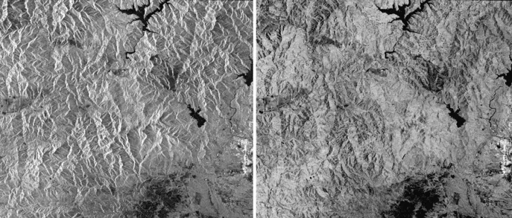
This data recipe guides users to terrain correct CEOS-formatted data granules for legacy platforms.
Data Recipe
SHOWING 2 OF 2
JERS-1 News
View All News
Quick Filters

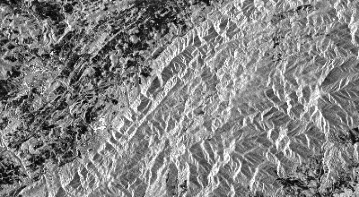
Explore Earth with NASA's global mosaics and maps created from synthetic aperture radar (SAR) datasets provided by the Japan Aerospace Exploration Agency (JAXA).
News

Many processes that shape the Earth's landscape happen too slowly to be witnessed in a human lifetime. But recent analysis of satellite imagery shows that a large glacier tongue on the coast of East Antarctica has disintegrated, changing the shape of the coastline almost overnight.
Feature Article
SHOWING 2 OF 2
Frequently Asked Questions
Earthdata Forum
Our online forum provides a space for users to browse thousands of FAQs about research needs, data, and data applications. You can also submit new questions for our experts to answer.
Submit Questions to Earthdata Forumand View Expert Responses