Adapted from the European Space Agency’s STEP Community Platform
Background
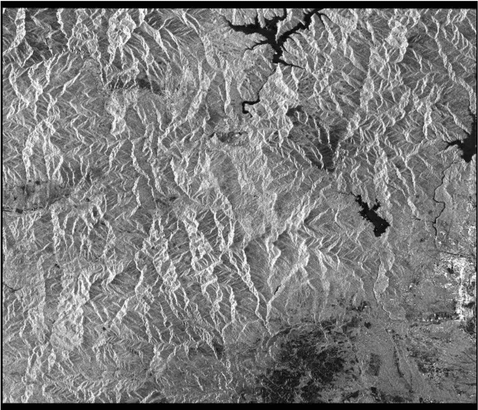
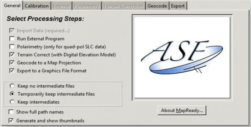
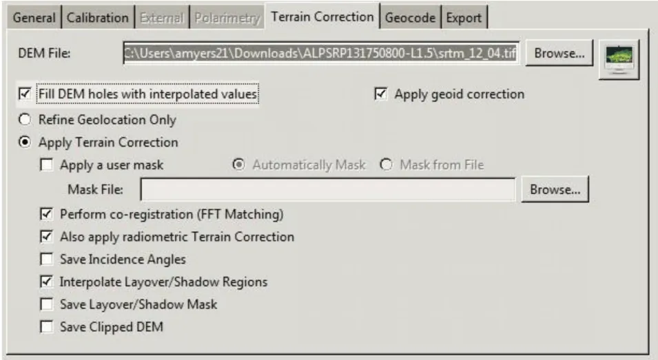
This data recipe is for users who wish to terrain correct CEOS-formatted data granules for legacy platforms including ERS-1, ERS-2, JERS-1, RADARSAT-1, or ALOS PALSAR. Radiometric correction steps using the Ulander algorithm are included. However, the correction is not as accurate as that found in commercial SAR processing products.
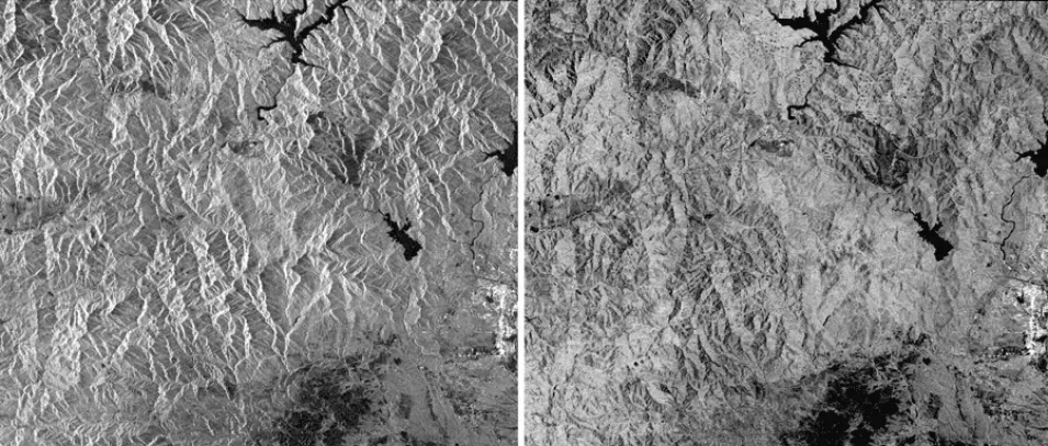
Radiometric correction involves removing the misleading influence of topography on backscatter values. Terrain correction is the process of correcting geometric distortions that lead to geolocation errors. The distortions are induced by side-looking (rather than straight-down looking or nadir) imaging, and are compounded by rugged terrain. Terrain correction moves image pixels into the proper spatial relationship with each other. Radiometric terrain correction combines both corrections to produce a more useful product for science applications.
Prerequisites
Materials List:
- Windows PC
- ASF MapReady
- Sample Granule (Level 1.5 ALOS PALSAR), or your own data
- Digital Elevation Model (DEM) that includes the area covered by the granule (available from many sources, including USGS Earth Explorer and OpenTopography).
