Content from all Earth science data sites are migrating into this site from now until end of 2026. Not all NASA Earth science data will appear across the site until then. Thank you for your patience as we make this transition.
Read about the Web Unification Project
HAMSR Resources
Read the latest High Altitude Monolithic Microwave Integrated Circuit (MMIC) Sounding Radiometer (HAMSR) news and access learning resources designed to help you optimize your Earth science research.
HAMSR Learning Resources

This data recipe enables users to plot temporal subsets of the HS3 High Altitude MMIC Sounding Radiometer (HAMSR) Radar Reflectivity Profiles through a Python plotting routine.
Data Recipe

This data recipe instructs users on how to generate vertical time-height plots of Hurricane and Severe Storm Sentinel (HS3) Global Hawk Cloud Physics Lidar (CPL) attenuated total backscatter measurements using a Python plotting routine.
Data Recipe
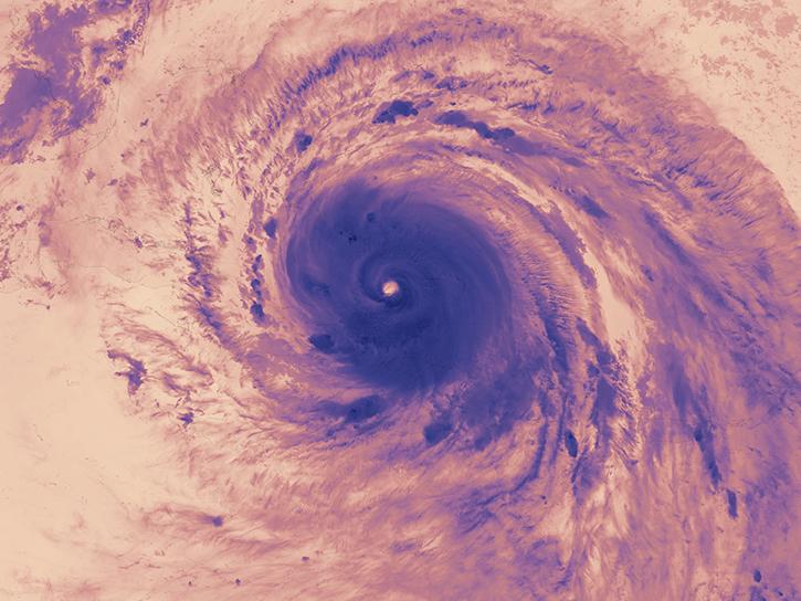
The Hurricane and Severe Storm Sentinel (HS3) field campaign helped researchers identify areas of heavy rain and wind within Ingrid ahead of landfall.
Data in Action
SHOWING 3 OF 3
Frequently Asked Questions
Earthdata Forum
Our online forum provides a space for users to browse thousands of FAQs about research needs, data, and data applications. You can also submit new questions for our experts to answer.
Submit Questions to Earthdata Forumand View Expert Responses