Content from all Earth science data sites are migrating into this site from now until end of 2026. Not all NASA Earth science data will appear across the site until then. Thank you for your patience as we make this transition.
Read about the Web Unification Project
Surface Water Processes/Measurements News
Articles, resources, and announcements from Surface Water Processes/Measurements.
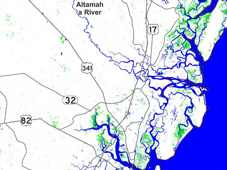
Sentinel-1 synthetic aperture radar (SAR) data are used to create maps of surface water extent for research, planning, and disaster response.
News
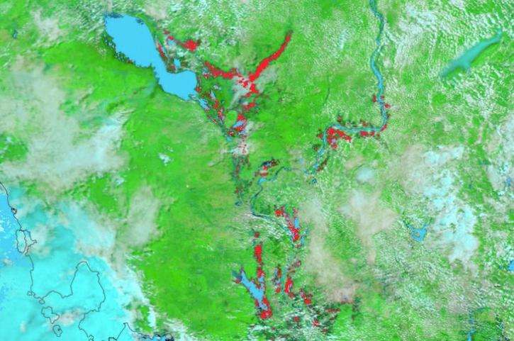
Image captured on August 7, 2024, by the MODIS instrument aboard NASA's Terra satellite.
Worldview Image of the Week
The Surface Water and Ocean Topography (SWOT) mission provides critical data for understanding Earth's water cycle, including data about freshwater systems that have not been available from any previous hydrology-related missions.
Data User Story
A workshop hosted by NASA's Physical Oceanography Distributed Active Archive Center (PO.DAAC) explored data and resources for working with observations from the Surface Water and Ocean Topography (SWOT) mission.
Blog
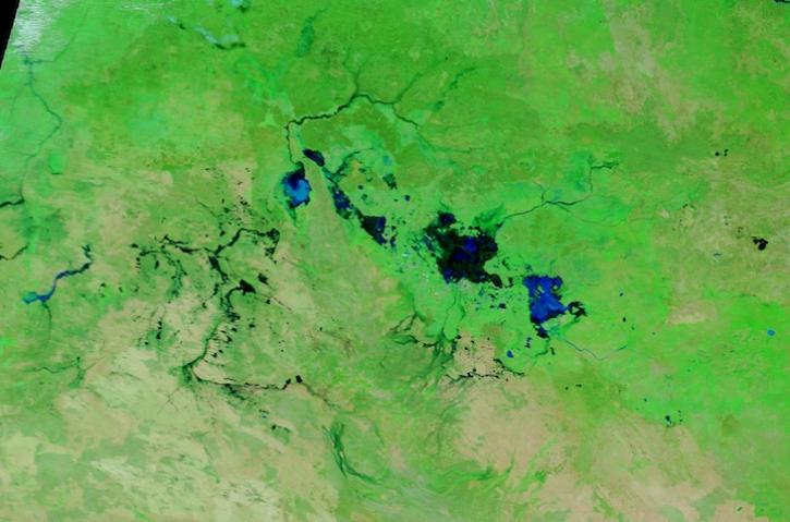
Image captured March 13, 2024, by the MODIS instrument aboard NASA's Terra satellite.
Worldview Image of the Week
New instruments like the Ka-band Radar Interferometer present NASA Engineers with calibration and validation challenges.
Data User Story
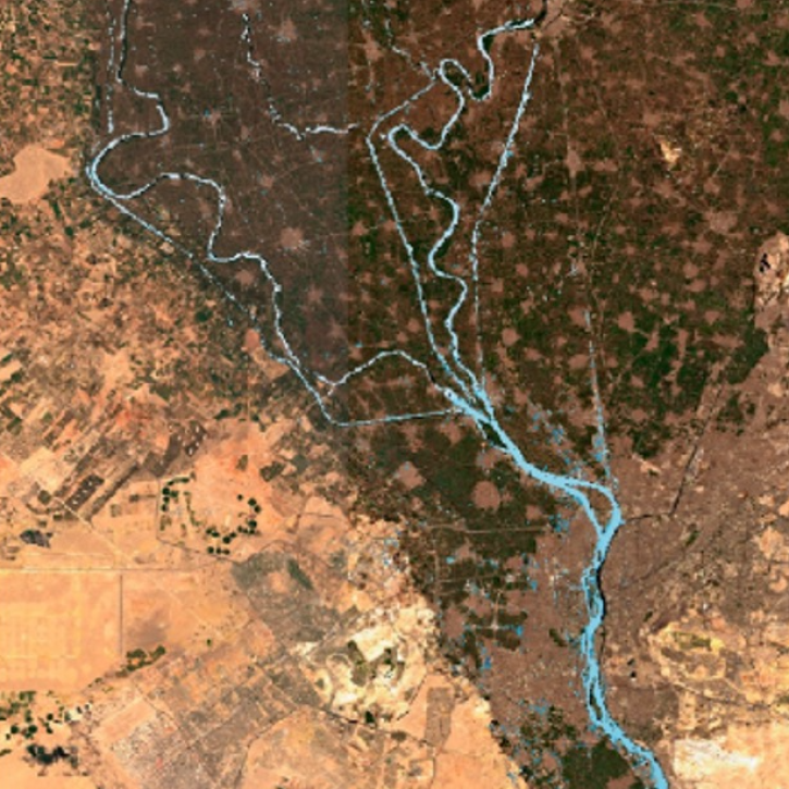
NASA's Observational Products for End-Users from Remote Sensing Analysis (OPERA) project releases two new analysis-ready products.
Feature Article
Data Rods for Hydrology offers easy access to time-series data for a point location.
Feature Article


