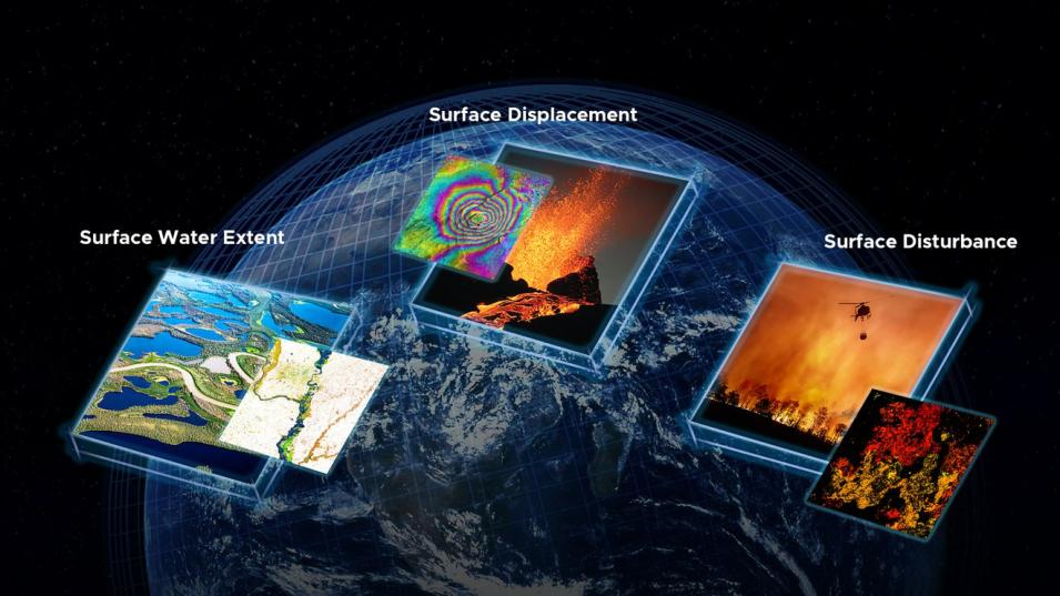
When a natural disaster or severe weather strikes, delivering actionable, decision-ready satellite data to federal agencies and first responders is critical. Unfortunately, this is often a complex process that requires a good deal of technological and data-processing know-how. This is especially true when the satellite data come from spaceborne radar instruments, which often require specialized skills and the use of advanced computing environments.
The Observational Products for End-Users from Remote Sensing Analysis (OPERA) project at NASA’s Jet Propulsion Laboratory (JPL) in Southern California is on a mission to change this by developing analysis-ready products to reduce the technical barriers to using satellite remote sensing observations.
The OPERA project team released analysis-ready Surface Water and Surface Disturbance products derived from Harmonized Landsat and Sentinel-2 (HLS) optical data in early-2023, and has now released two new analysis-ready radar products. The Radiometric Terrain Corrected (RTC) Synthetic Aperture Radar (SAR) backscatter and Coregistered Single-Look Complex (CSLC) products are derived from the C-band SAR instrument aboard the ESA (European Space Agency) Sentinel-1 satellites.
“The initial products released by OPERA [Surface Water and Surface Disturbance] were derived from optical satellite observations. As such, the mapping of water extent and vegetation disturbance can be at times hampered by the presence of thick clouds or a lack of sunlight illumination at night. Radar provides a complementing view to the optical satellites, in that it can penetrate through clouds and “see” in the dark, thus allowing for the retrieval of water, disturbance, displacement, and much more—24/7,” said Dr. David Bekaert, OPERA program manager.
The Radiometric Terrain Corrected SAR Backscatter Product
The RTC product is generated from Sentinel-1 SAR data (product shortname: RTC-S1). It is a 30-meter Level 2 GeoTIFF-formatted product projected on the Universal Transverse Mercator (UTM)/Polar stereographic map projection system. The 30-meter Copernicus Global Digital Elevation Model (DEM) is the reference DEM used to correct for the impacts of topography and geocode the product. The RTC-S1 data product has a near-global geographic coverage, which includes all landmasses excluding Antarctica.
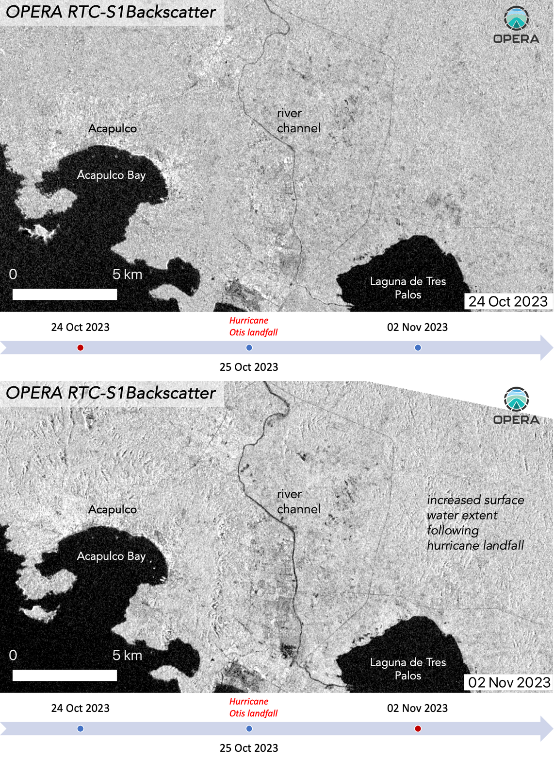
The radar signals stored in the product are largely related to the physical properties of the ground, including surface roughness, soil moisture, and vegetation conditions.
“Because of its direct connection with the ground surface physical properties, the [RTC-S1] product has many applications in resource management, scientific research, and hazard response. For example, RTC changes over time can be used to provide post-disaster assessment after landslides or track changes in water bodies such as rivers, lakes, or reservoirs,” said OPERA Project Scientist Dr. Steven Chan. The RTC-S1 is also the foundation of OPERA’s upcoming near-global OPERA Dynamic Surface Water Extent from Sentinel-1 (DSWx-S1) data product.

