Content from all Earth science data sites are migrating into this site from now until end of 2026. Not all NASA Earth science data will appear across the site until then. Thank you for your patience as we make this transition.
Read about the Web Unification Project
Upwelling/Downwelling News
Articles, resources, and announcements from Upwelling/Downwelling.
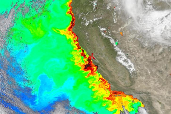
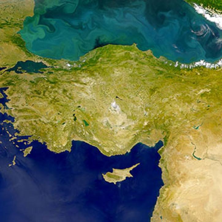
Image captured on May 8, 2024, by the OCI instrument aboard NASA's PACE satellite.
Worldview Image of the Week
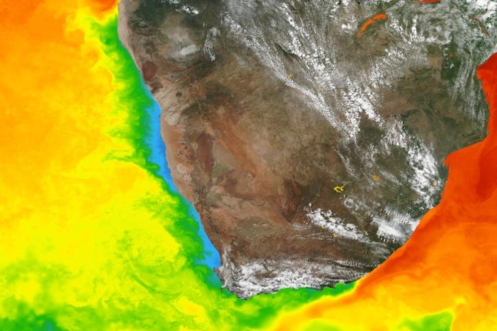
Base image captured March 5, 2024, by the Visible Infrared Imaging Radiometer Suite (VIIRS) instrument aboard the Suomi NPP satellite, overlaid with sea surface temperature.
Worldview Image of the Week
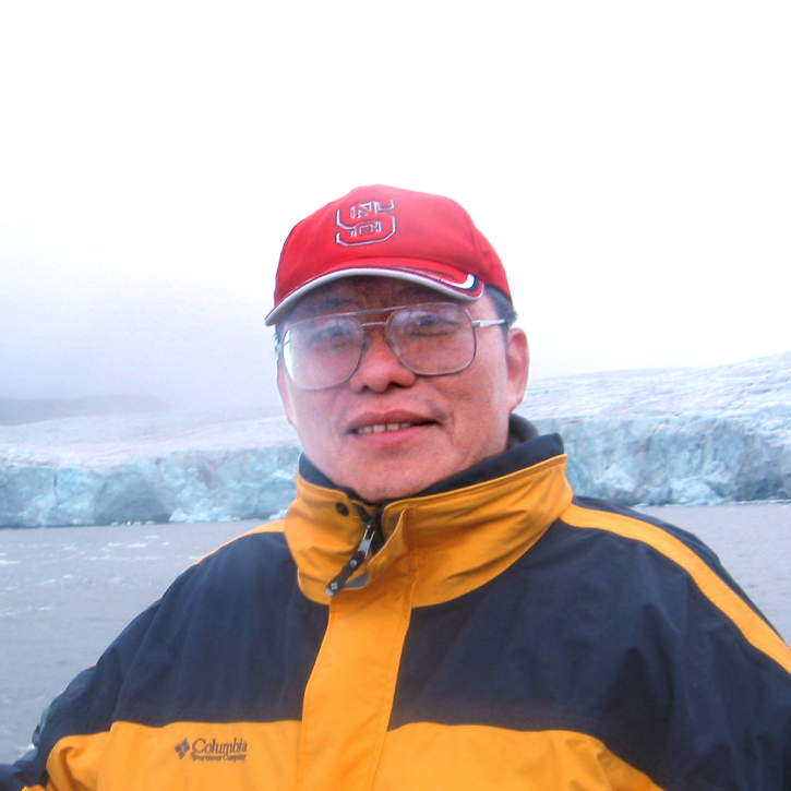
Who uses NASA Earth science data? Dr. Xiaofeng Li, to study atmospheric and oceanic processes.
Data User Story

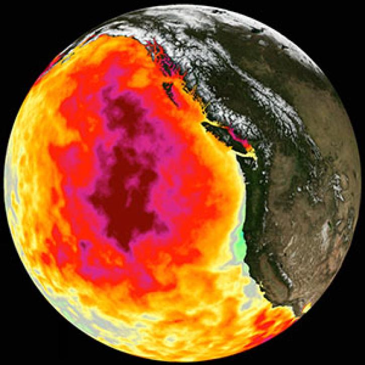
Too much warmth and too little wind fueled a massive marine heat wave along the Pacific Coast.
Feature Article

A tiny organism and its tenants make an unexpected appearance.
Feature Article

Who uses NASA Earth science data? Dr. John Wilkin, to study coastal ocean circulation, marine ecosystem processes, and the occasional rock lobster.
Data User Story
SHOWING 8 OF 11