Content from all Earth science data sites are migrating into this site from now until end of 2026. Not all NASA Earth science data will appear across the site until then. Thank you for your patience as we make this transition.
Read about the Web Unification Project
Lidar stands for Light Detection and Ranging. It is a remote sensing method that uses light in the form of a pulsed laser to measure ranges. Lidar is the optical analogue of radar. Lidar differs from radar in its energy source, a laser in the optical part of the electromagnetic spectrum (near IR and green).
Lidar is used to measure things such as:
- range and altitude
- atmospheric vertical profiles of aerosols and trace gas densities
- temperature
- cloud cover
- wind velocity
- shape and size of landscape features
- height and density of forests
- sea surface roughness
12 MIN READ
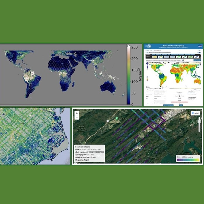
Join us for an introduction to GEDI Level 3 and Level 4 data products and to learn how to discover, access, visualize, and analyze the data.
11 MIN READ
9 MIN READ
2 MIN READ
6 MIN READ
