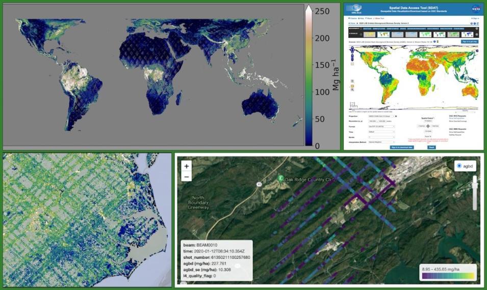
NASA's Global Ecosystem Dynamics Investigation (GEDI) mission has recently released global datasets that provide estimates of aboveground biomass density and associated uncertainty at the footprint (~25 m) and the grid (1 km resolution) level. Mounted on the International Space Station (ISS), the GEDI instrument is a full-waveform lidar designed to measure vegetation and provides the densest sampling of any lidar put on orbit. Since its launch in December 2018, GEDI has captured billions of measurements, providing unprecedented, globally consistent, high-resolution information on vertical forest structures, specifically tropical and temperate forests and woodlands. The canopy information from GEDI shots, combined with coincident airborne lidar and plot-level field inventory, were used to predict aboveground biomass estimates. The new products (Level 4A and Level 4B) along with gridded canopy metrics (Level 3) are archived at NASA's Oak Ridge National Laboratory Distributed Active Archive Center (ORNL DAAC) and are freely and openly available.
This webinar will provide an overview of the science behind GEDI higher-level data products. We will also present tutorials on using various tools and services for data access, analytics, and visualization of GEDI Level 3 and Level 4 data products, followed by a question-and-answer session.
