Content from all Earth science data sites are migrating into this site from now until end of 2026. Not all NASA Earth science data will appear across the site until then. Thank you for your patience as we make this transition.
Read about the Web Unification Project
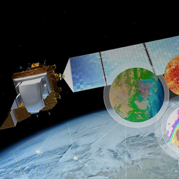
StoryMaps
Esri StoryMaps created by NASA explore emerging Earth science data.
Quick Filters
1 MIN READ
Geographic Information Systems - going beyond mapping! Providing powerful capabilities to visualize, analyze, and interact with big data

1 MIN READ
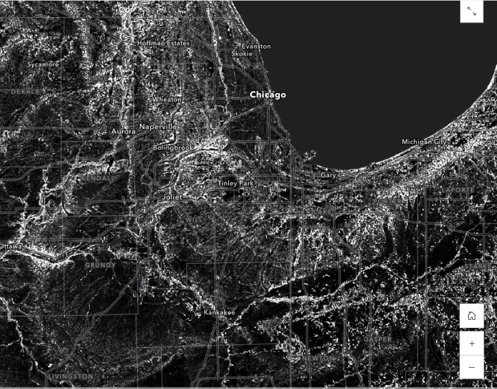
Work with Sentinel-1 Burst products from NASA’s Alaska Satellite Facility Distributed Active Archive Center (ASF DAAC).
1 MIN READ
Learn how to use the Global 30-m Height Above Nearest Drainage (HAND) dataset generated from the Copernicus GLO-30 DEM.
1 MIN READ
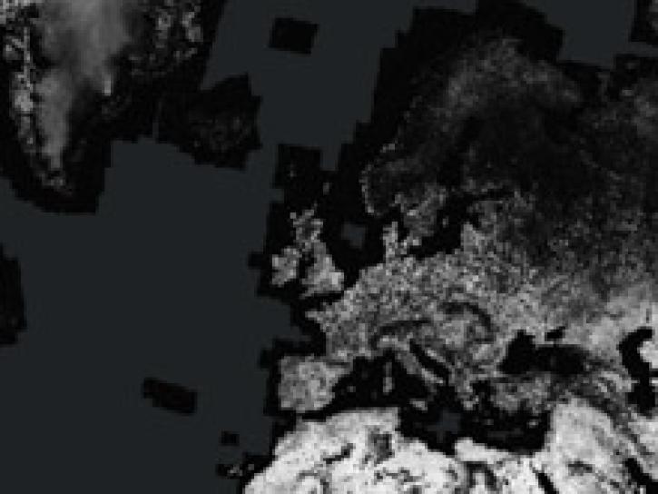
Access enhanced image services for NASA's Global Seasonal Sentinel-1 Interferometric Coherence and Backscatter dataset.

1 MIN READ
Near real-time monitoring of tropical storms and observations of previous hurricanes.

1 MIN READ
NASA Land Surface Models Capture Water Quality Trends in the Upper Mississippi Basin
1 MIN READ
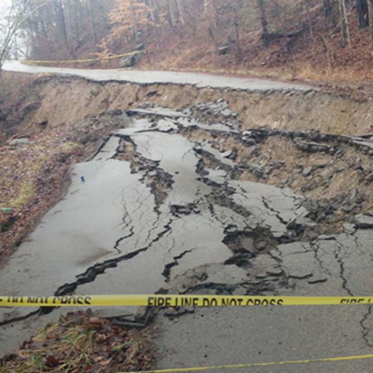
Machine Learning and Remote Sensing Show Where and When Landslides are Most Likely

1 MIN READ
NASA Models Reveal Climate-Induced and Management Impacts on the Mississippi River Delta
SHOWING 8 OF 31