Content from all Earth science data sites are migrating into this site from now until end of 2026. Not all NASA Earth science data will appear across the site until then. Thank you for your patience as we make this transition.
Read about the Web Unification Project
StoryMaps
Esri StoryMaps created by NASA explore emerging Earth science data.
Quick Filters
1 MIN READ
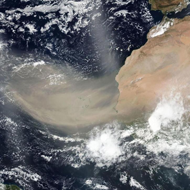
Connected by Earth, Informed by Data. Earth Day 2021.
1 MIN READ
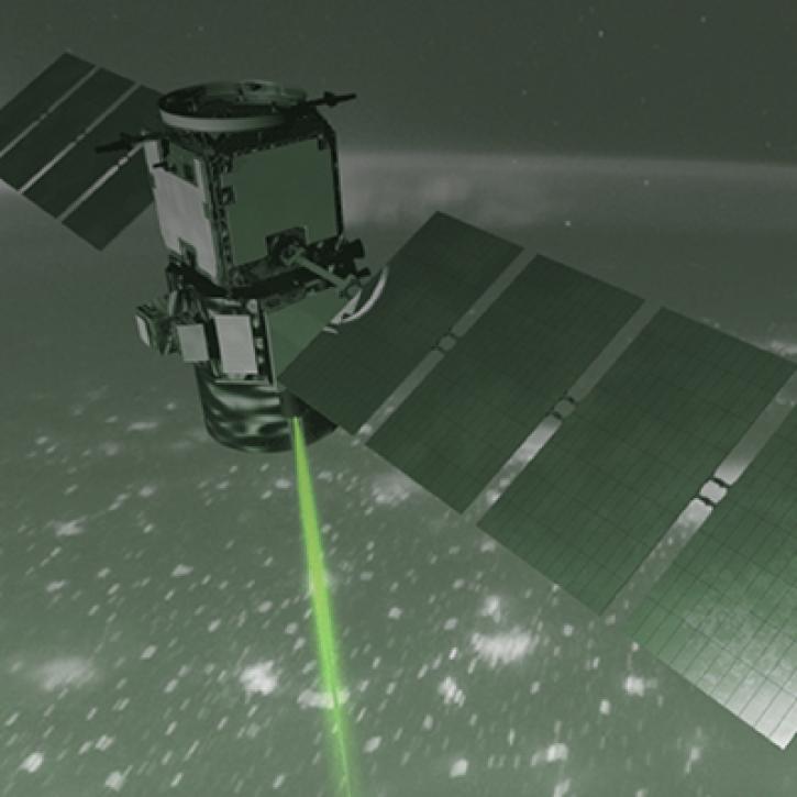
How NASA Langley Research Center is Taking Lidar to New Heights to Better Understand Our Earth
1 MIN READ
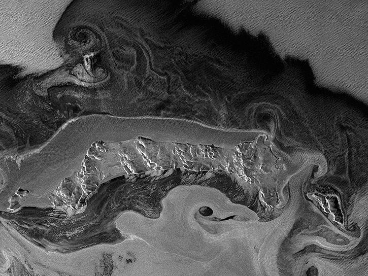
Learn how to convert among common synthetic aperture radar (SAR) scales, including power, amplitude, and dB.

1 MIN READ
Work with radiometrically terrain corrected (RTC) Sentinel-1 synthetic aperture radar (SAR) datasets.
1 MIN READ
See how NASA's Land Processes Distributed Active Archive Center (LP DAAC) uses land cover and vegetation continuous fields data to highlight land cover changes.
SHOWING 7 OF 31