Content from all Earth science data sites are migrating into this site from now until end of 2026. Not all NASA Earth science data will appear across the site until then. Thank you for your patience as we make this transition.
Read about the Web Unification Project
StoryMaps
Esri StoryMaps created by NASA explore emerging Earth science data.
Quick Filters
1 MIN READ
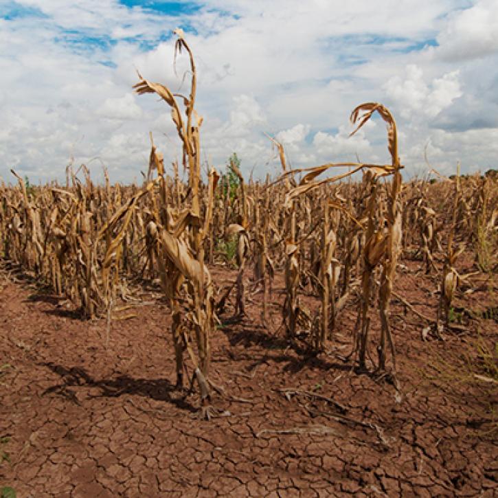
Propagation and Impacts of Great Plains Drought Captured by NASA Models and Datasets
1 MIN READ
NASA Models and Remote Sensing Datasets Capture Cascading Impacts on Midwest Farmers

1 MIN READ
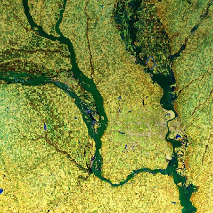
NASA Models and Datasets Capture Irrigation and Groundwater Depletion Impacts
1 MIN READ
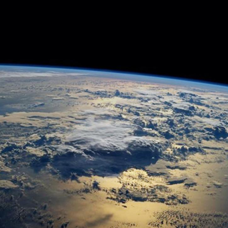
Integrating Data and Models Across the Full Water Cycle to Deliver Actionable Freshwater Information

1 MIN READ
Providing critical data to wildfire management organizations and impacted individuals.

1 MIN READ
Learn about the NASA DEVELOP internship projects that used data distributed by the Land Processes Distributed Active Archive Center (LP DAAC) in spring 2021.
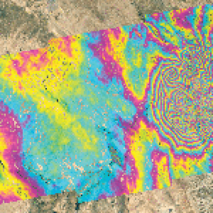
1 MIN READ
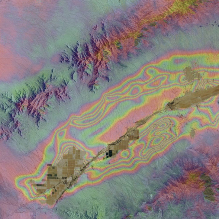
Get to know on-demand interferometric synthetic aperture radar (InSAR) products from NASA’s Alaska Satellite Facility Distributed Active Archive Center (ASF DAAC).
1 MIN READ
Order Sentinel-1 interferometric synthetic aperture radar (InSAR) datasets from NASA’s Alaska Satellite Facility Distributed Active Archive Center (ASF DAAC).
SHOWING 8 OF 31